
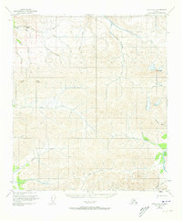
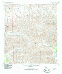
1950 Map of Healy D-3
USGS Topo · Published 1965About this map
The Totatlanika River and Healy River systems dominate this interior landscape, which was meticulously mapped using aerial photographs from the late 1940s. The terrain is defined by prominent elevations like Usibelli Peak, Mount Lathrop, and Keevy Peak, which overlook a network of drainages including the evocative All Gold Creek and Last Chance Creek. The presence of these named creeks and Brinckman Gulch suggests a history of localized exploration or resource prospecting in the valleys tucked between the ridges. Small human outposts are rare in this high-relief environment, though a remote Cabin is noted near the confluence of Cody Creek and the Wood River. Other distinctive landmarks like Needle Rock and Needle serve as navigation points within the drainage basins of Dexter Creek and Surprise Creek.
Find a feature on this map
24 named features on this map. Tap any name to fly to it.
Don’t see what you’re looking for? This feature index may not catch every label — zoom into the map to look around manually.
Map Details
Editions of this 1950 Healy D-3 Map
3 editions found
Other maps of this area

1949 · Healy C-3
USGS Topo · 1:63,360

1949 · Fairbanks A-2
USGS Topo · 1:63,360

1950 · Fairbanks
USGS Topo · 1:250,000

1950 · Healy D-4
USGS Topo · 1:63,360

1950 · Healy C-4
USGS Topo · 1:63,360

1950 · Fairbanks A-4
USGS Topo · 1:63,360

1950 · Fairbanks A-3
USGS Topo · 1:63,360

1951 · Healy
USGS Topo · 1:250,000

1951 · Fairbanks
USGS Topo · 1:250,000

1951 · Healy C-2
USGS Topo · 1:63,360