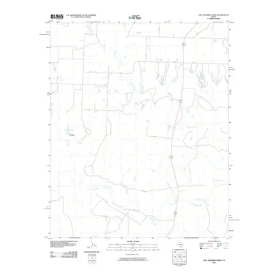
2010 Map of Hell Roaring Creek
USGS Topo · Published 2010About this map
The North Pease River flows across the southern portion of this West Texas landscape, joined by its tributaries in a drainage system that includes the descriptively named Hell Roaring Creek. This 2010 survey reflects a largely rural area of Cottle County defined by its watercourses and a sparse grid of county roads. The northern section is dominated by the meandering Shores Creek, while the central-western area contains Groclose Lake and the associated Groclose Lake Dam. This topographic study captures the character of the Rolling Plains during the first decade of the 21st century, showing how the land is segmented by routes like Fm 2103 and Co Rd 154. The drainage patterns of Sweetwater Creek and Devils Creek highlight the significance of seasonal water flow in this ranching country.
Find a feature on this map
18 named features on this map. Tap any name to fly to it.
Don’t see what you’re looking for? This feature index may not catch every label — zoom into the map to look around manually.
Map Details
Editions of this 2010 Hell Roaring Creek Map
This is the sole edition of this map. No revisions or reprints were ever made.
Other maps of this area

1954 · Plainview
USGS Topo · 1:250,000

1958 · Plainview
USGS Topo · 1:250,000

1966 · Cee Vee
USGS Topo · 1:24,000

1967 · Buckle L Ranch
USGS Topo · 1:24,000

1967 · Tell South
USGS Topo · 1:24,000

1967 · Hell Roaring Creek
USGS Topo · 1:24,000

1967 · Tell North
USGS Topo · 1:24,000

1967 · Dunlap
USGS Topo · 1:24,000

1967 · Childress
USGS Topo · 1:24,000

1967 · Carey
USGS Topo · 1:24,000