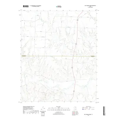
2019 Map of Hell Roaring Creek
USGS Topo · Published 2019About this map
The N Pease River flows across the southern portion of this landscape, marking the transition between the rolling uplands and the river valley. The terrain is deeply incised by a network of drainage systems, most notably Hell Roaring Cr and Sweetwater Cr, which carve their way south toward the river. This 2019 survey documents the border region between Childress Co and Cottle Co in north-central Texas, an area defined by its agricultural layout and sparse road network. The map reveals the placement of rural infrastructure such as Groclose Lake and the long reaches of Ranch Rd 2103. These features, along with names like Devils Cr and Shores Cr, illustrate the traditional land use and water management priorities of this cattle-and-ranching territory.
Find a feature on this map
22 named features on this map. Tap any name to fly to it.
Don’t see what you’re looking for? This feature index may not catch every label — zoom into the map to look around manually.
Map Details
Editions of this 2019 Hell Roaring Creek Map
This is the sole edition of this map. No revisions or reprints were ever made.
Other maps of this area
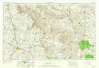
1954 · Plainview
USGS Topo · 1:250,000
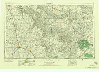
1958 · Plainview
USGS Topo · 1:250,000
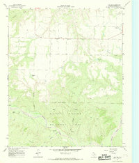
1966 · Cee Vee
USGS Topo · 1:24,000
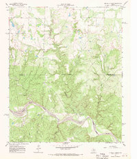
1967 · Buckle L Ranch
USGS Topo · 1:24,000
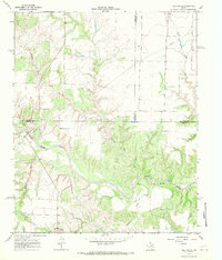
1967 · Tell South
USGS Topo · 1:24,000
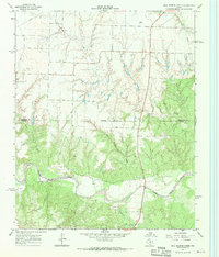
1967 · Hell Roaring Creek
USGS Topo · 1:24,000
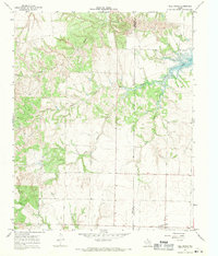
1967 · Tell North
USGS Topo · 1:24,000
1967 · Dunlap
USGS Topo · 1:24,000
1967 · Childress
USGS Topo · 1:24,000
1967 · Carey
USGS Topo · 1:24,000