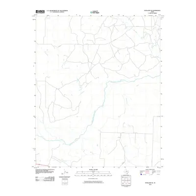
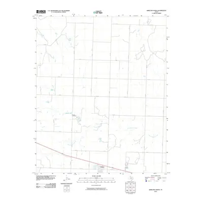
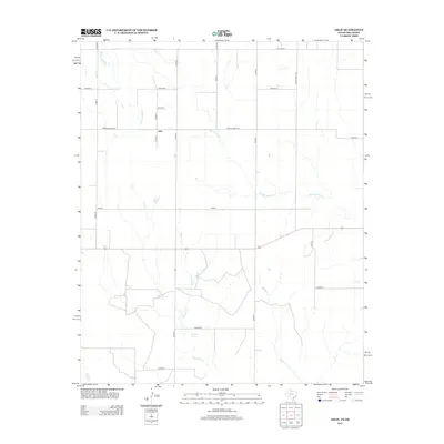
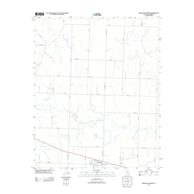
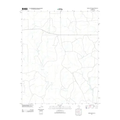
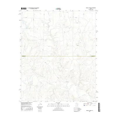
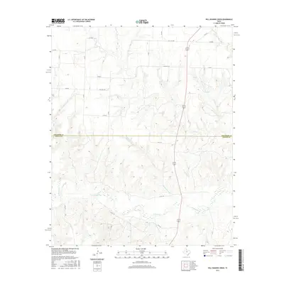
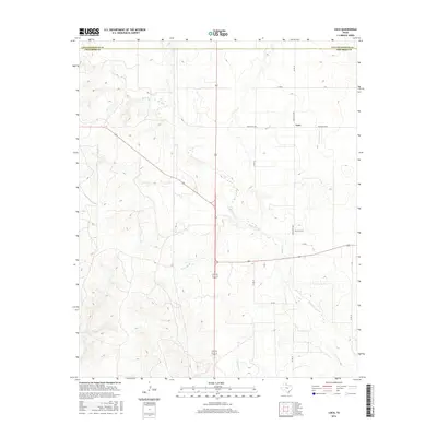
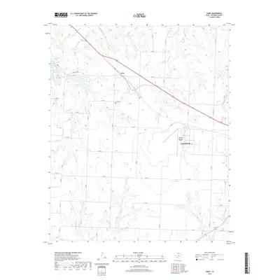
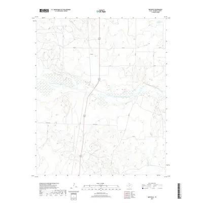
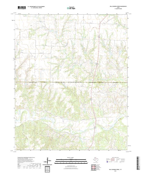
1967 Map of Hell Roaring Creek
USGS Topo · Published 1981About this map
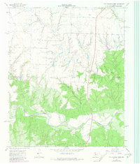
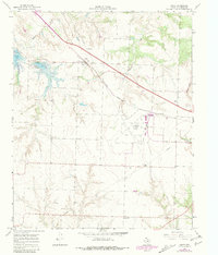
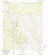
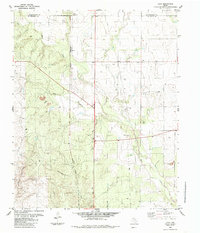
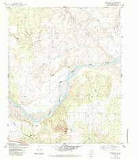
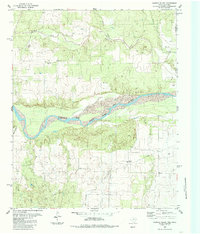
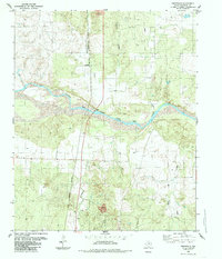
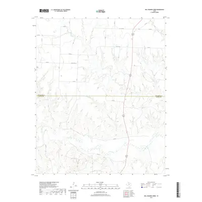
The North Pease River carves a significant path across this landscape, where the broken plains of the Texas Panhandle meet the drainage basins of the Rolling Plains. The waterway is joined by several significant tributaries, including Hell Roaring Creek and Sweetwater Creek, which define the local topography. This late 1960s survey, updated in the early 1980s, reveals a largely undeveloped expanse along the Childress and Cottle County line. Human activity is sparsely represented by a single Well and a Radio Facility near the northern boundary. The terrain is characterized by the complex drainage patterns of Shores Creek and Devil Creek, showing the natural erosion cycles typical of this region before extensive modern alterations. An indefinite boundary and several pipelines crossing the territory suggest the transition between rangeland and emerging utility infrastructure.
Find a feature on this map
10 named features on this map. Tap any name to fly to it.
Don’t see what you’re looking for? This feature index may not catch every label — zoom into the map to look around manually.
Map Details
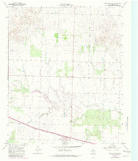
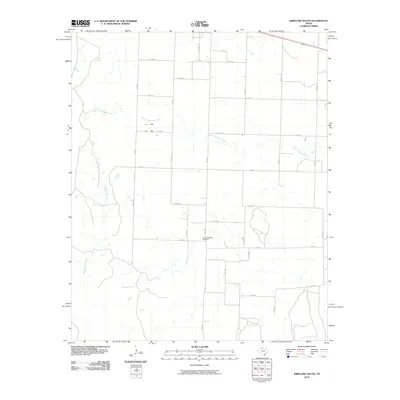
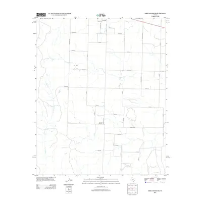
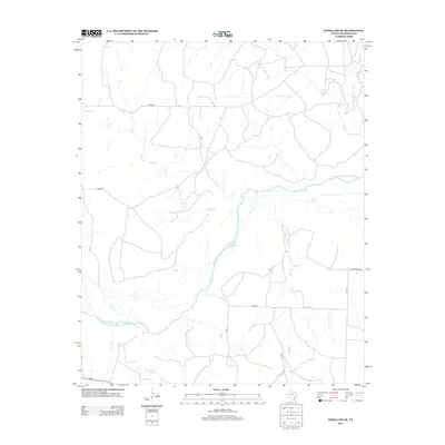
Editions of this 1967 Hell Roaring Creek Map
2 editions found
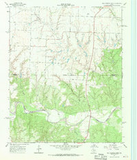
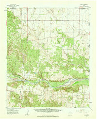
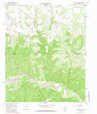
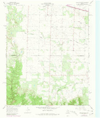
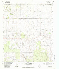
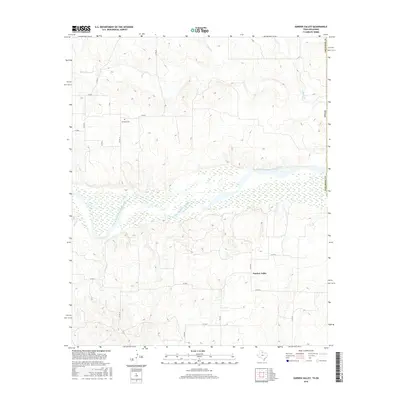
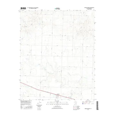
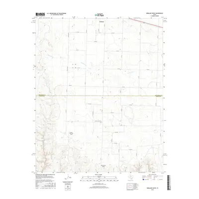
Historical Maps of Childress County Through Time
67 maps found
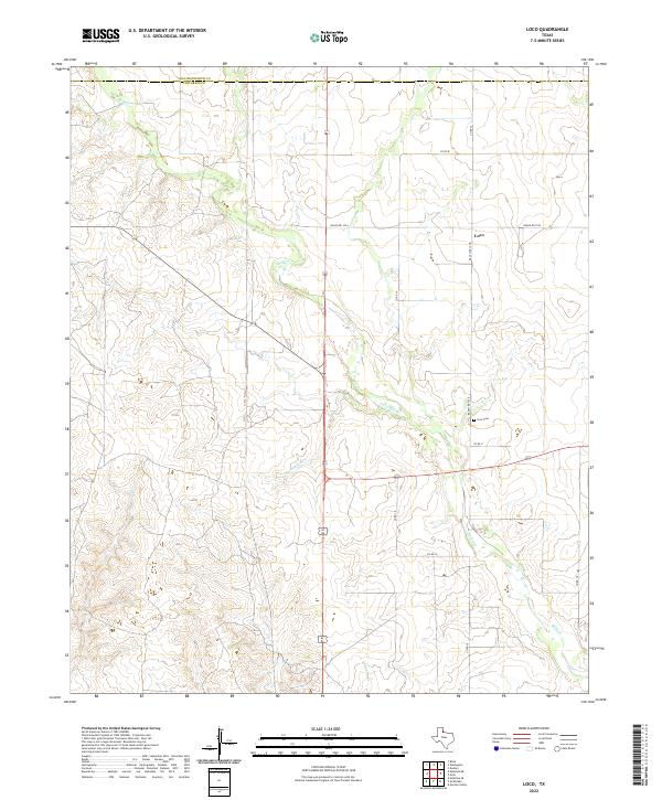
1960 Loco
Childress County, TX
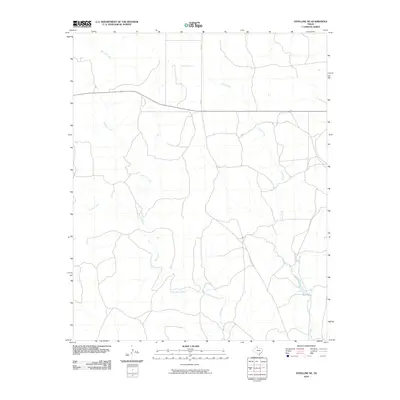
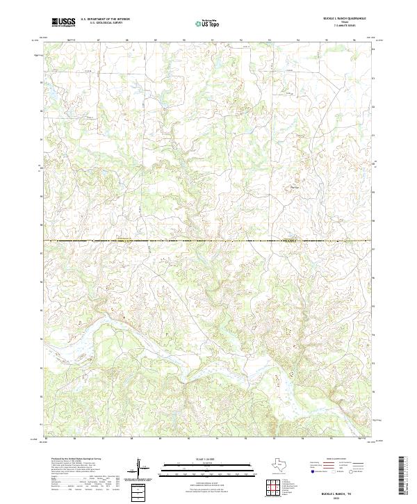
1967 Buckle L Ranch
Childress County, TX
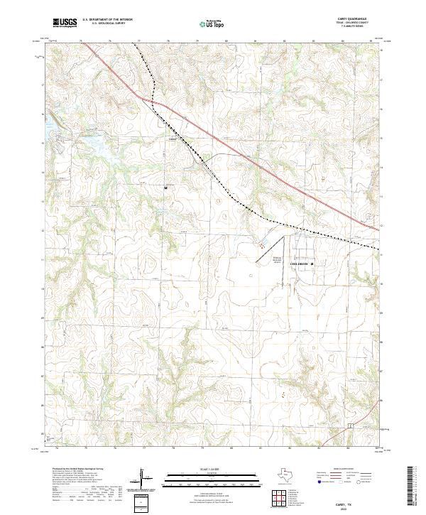
1967 Carey
Childress County, TX
1967 Hell Roaring Creek
Childress County, TX
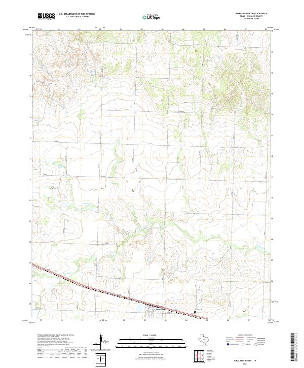
1967 Kirkland North
Childress County, TX
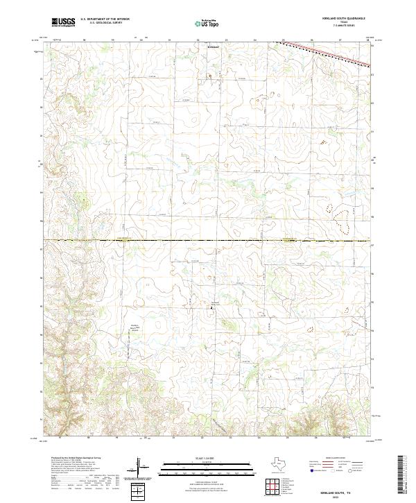
1967 Kirkland South
Childress County, TX
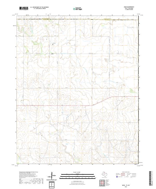
1984 Arlie
Childress County, TX
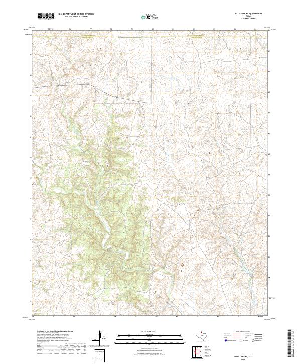
1984 Estelline NE
Childress County, TX
1984 Loco
Childress County, TX
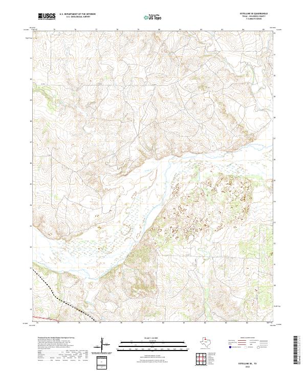
1985 Estelline SE
Childress County, TX
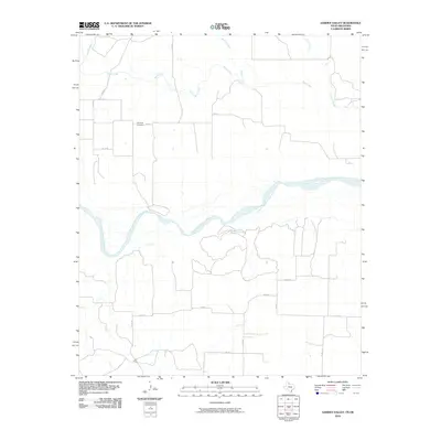
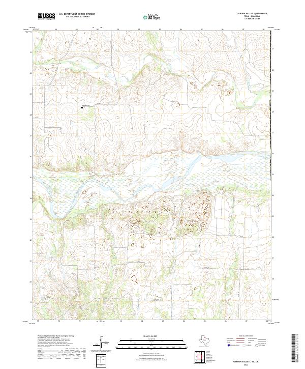
1985 Garden Valley
Childress County, TX
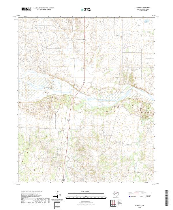
1985 Smithdale
Childress County, TX
2010 Arlie
Childress County, TX
2010 Buckle L Ranch
Childress County, TX
2010 Carey
Childress County, TX
2010 Estelline NE
Childress County, TX
2010 Estelline SE
Childress County, TX
2010 Garden Valley
Childress County, TX
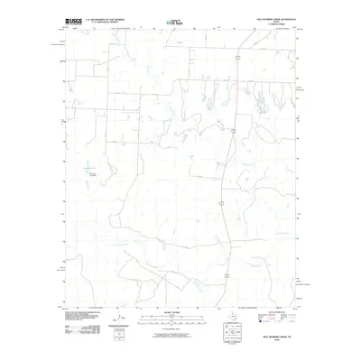
2010 Hell Roaring Creek
Childress County, TX
2010 Kirkland North
Childress County, TX
2010 Kirkland South
Childress County, TX
2010 Loco
Childress County, TX
2010 Smithdale
Childress County, TX
2012 Arlie
Childress County, TX
2012 Buckle L Ranch
Childress County, TX
2012 Carey
Childress County, TX
2012 Garden Valley
Childress County, TX
2012 Kirkland North
Childress County, TX
2012 Kirkland South
Childress County, TX
2012 Loco
Childress County, TX
2012 Smithdale
Childress County, TX
2013 Estelline NE
Childress County, TX
2013 Estelline SE
Childress County, TX
2013 Hell Roaring Creek
Childress County, TX
2016 Arlie
Childress County, TX
2016 Buckle L Ranch
Childress County, TX
2016 Carey
Childress County, TX
2016 Estelline NE
Childress County, TX
2016 Estelline SE
Childress County, TX
2016 Garden Valley
Childress County, TX
2016 Hell Roaring Creek
Childress County, TX
2016 Kirkland North
Childress County, TX
2016 Kirkland South
Childress County, TX
2016 Loco
Childress County, TX
2016 Smithdale
Childress County, TX
2019 Arlie
Childress County, TX
2019 Buckle L Ranch
Childress County, TX
2019 Carey
Childress County, TX
2019 Estelline NE
Childress County, TX
2019 Estelline SE
Childress County, TX
2019 Garden Valley
Childress County, TX
2019 Hell Roaring Creek
Childress County, TX
2019 Kirkland North
Childress County, TX
2019 Kirkland South
Childress County, TX
2019 Loco
Childress County, TX
2019 Smithdale
Childress County, TX
2022 Arlie
Childress County, TX
2022 Buckle L Ranch
Childress County, TX
2022 Carey
Childress County, TX
2022 Estelline NE
Childress County, TX
2022 Estelline SE
Childress County, TX
2022 Garden Valley
Childress County, TX
2022 Hell Roaring Creek
Childress County, TX
2022 Kirkland North
Childress County, TX
2022 Kirkland South
Childress County, TX
2022 Loco
Childress County, TX
2022 Smithdale
Childress County, TX