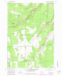
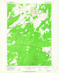
1962 Map of Henkle Butte
USGS Topo · Published 1981About this map
Henkle Butte and its lookout tower dominate the northern landscape of this Deschutes County region, marking a prominent transition between the high forest and the settled plains below. The map illustrates a complex water management system vital to the area's development, featuring the Squaw Creek Canal and the Goodrich Ditch which divert water from Squaw Creek to support the local agriculture around Cloverdale. These irrigation works represent the era's intensive effort to reclaim arid lands for ranching and farming. To the east and south, the terrain is defined by dramatic erosion features including Squaw Canyon, McKenzie Canyon, and Deep Canyon. The eastern half also contains the McKenzie Canyon Reservoir and numerous gravel pits, indicating the localized resource extraction that supported the area's infrastructure. Large sections of the Deschutes National Forest cover the western portion, intersected by the historic Fremont Trail.
Find a feature on this map
22 named features on this map. Tap any name to fly to it.
Don’t see what you’re looking for? This feature index may not catch every label — zoom into the map to look around manually.
Map Details
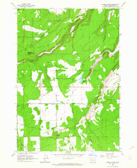
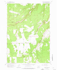
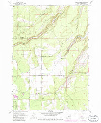
Editions of this 1962 Henkle Butte Map
4 editions found
Other maps of this area

1926 · Bend
USGS Topo · 1:125,000

1929 · Bend
USGS Topo · 1:125,000

1929 · Three Sisters
USGS Topo · 1:125,000

1932 · Three Sisters
USGS Topo · 1:125,000

1955 · Bend
USGS Topo · 1:250,000

1957 · Bend
USGS Topo · 1:250,000

1958 · Bend
USGS Topo · 1:250,000

1959 · Broken Top
USGS Topo · 1:62,500

1959 · Sisters
USGS Topo · 1:62,500
1962 · Cline Falls
USGS Topo · 1:24,000