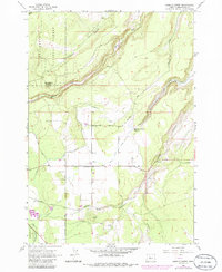
1962 Map of Henkle Butte
USGS Topo · Published 1986About this map
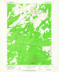
Cloverdale serves as a central point in this High Desert landscape, situated where the high plains meet the intricate drainage systems of the eastern Cascades. The 1962 survey reveals a complex network of water management, vital for supporting agriculture and livestock in this arid region. Features such as the Goodrich Ditch, Squaw Canyon Canal, and Jordan Road Canal demonstrate the intensive irrigation efforts required to divert water from Squaw Creek toward the surrounding ranchlands.
Find a feature on this map
68 named features on this map. Tap any name to fly to it.
Don’t see what you’re looking for? This feature index may not catch every label — zoom into the map to look around manually.
Map Details
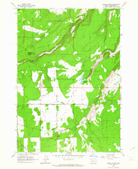
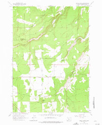
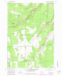
Editions of this 1962 Henkle Butte Map
4 editions found
Other maps of this area

1926 · Bend
USGS Topo · 1:125,000

1929 · Bend
USGS Topo · 1:125,000

1929 · Three Sisters
USGS Topo · 1:125,000

1932 · Three Sisters
USGS Topo · 1:125,000

1955 · Bend
USGS Topo · 1:250,000

1957 · Bend
USGS Topo · 1:250,000

1958 · Bend
USGS Topo · 1:250,000

1959 · Broken Top
USGS Topo · 1:62,500

1959 · Sisters
USGS Topo · 1:62,500
1962 · Cline Falls
USGS Topo · 1:24,000