Loading...
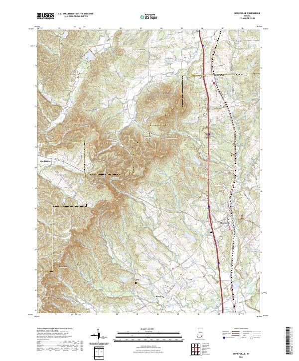
Loading map...1949 Map of Henryville
USGS Topo · Published 1949About this map
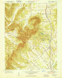
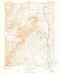
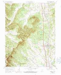
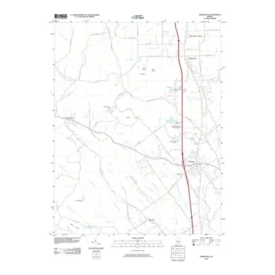
Clark State Forest dominates the western half of this Indiana landscape, where the ridges of the Bartle Knobs and peaks like Rock Knob and Round Knob break the terrain. In the post-war era, the settlement of Henryville sits at the junction of several regional roads and the Pennsylvania railroad line, serving as a gateway to the local timberlands. The map documents an important intersection of conservation and education, shown by the Purdue University Forestry Camp situated near Schlamm Lake.
Find a feature on this map
43 named features on this map. Tap any name to fly to it.
Don’t see what you’re looking for? This feature index may not catch every label — zoom into the map to look around manually.
Map Details
Date Portrayed1949
Date Published1949
PublisherU.S. Geological Survey
Map TypeTopographic
Scale1:24,000
Physical Dimensions21.2 x 26.7 inches
Editions of this 1949 Henryville Map
2 editions found
Historical Maps of Henryville Through Time
7 maps found
Featured Locations
Source Details
SourceU.S. Geological Survey
CopyrightPublic Domain