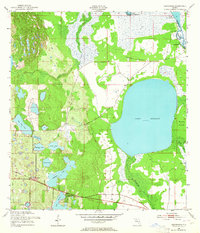
1952 Map of Hesperides
USGS Topo · Published 1964About this map
Lake Rosalie dominates the eastern landscape of this interior Florida region, which is defined by an intricate network of interconnected freshwater bodies and marshlands. Along the southern edge, the small settlements of Hesperides and Alcoma sit along the Seaboard Air Line railroad, marking a transition from the wetland systems to areas of cultivation and early development. The presence of St Anne Shrine and Beulah Ch near the rail corridor suggests established community centers for the local population during the early 1950s.
Find a feature on this map
24 named features on this map. Tap any name to fly to it.
Don’t see what you’re looking for? This feature index may not catch every label — zoom into the map to look around manually.
Map Details
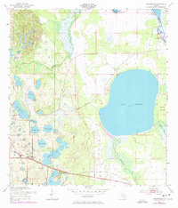
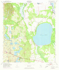
Editions of this 1952 Hesperides Map
4 editions found
Other maps of this area

1952 · Lake Wales
USGS Topo · 1:24,000

1952 · Lake Weohyakapka SE
USGS Topo · 1:24,000

1952 · Lake Weohyakapka NE
USGS Topo · 1:24,000

1952 · Babson Park
USGS Topo · 1:24,000

1952 · Hesperides
USGS Topo · 1:24,000

1952 · Lake Weohyakapka
USGS Topo · 1:24,000

1953 · Cypress Lake
USGS Topo · 1:24,000

1953 · Dundee
USGS Topo · 1:24,000

1953 · Lake Hatchineha
USGS Topo · 1:24,000

1955 · Orlando
USGS Topo · 1:250,000