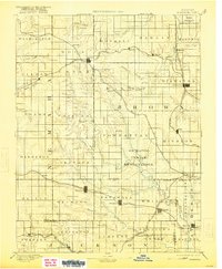
1894 Map of Hiawatha
USGS Topo · Published 1921About this map
The Iowa Indian Reservation and Kickapoo Indian Reservation define the northeastern and central sections of this northeastern Kansas landscape, which was surveyed during the late nineteenth century. At this time, the region was an established agricultural and transit hub, anchored by the town of Hiawatha. The map reveals a dense network of competing rail lines, including the St. Joseph and Grand Island R.R. and the Chicago Rock Island and Pacific Railroad, which fueled the growth of numerous small prairie settlements like Sabetha, Wetmore, and Netawaka. The terrain is characterized by the branching drainages of the Delaware River and Soldier Creek, which shaped the early township boundaries and agricultural patterns of Brown and Nemaha Counties. These creek-fed valleys provided the natural corridors for early settlers to establish communities such as Powhattan and Circleville long before modern highways altered the rural layout.
Find a feature on this map
80 named features on this map. Tap any name to fly to it.
Don’t see what you’re looking for? This feature index may not catch every label — zoom into the map to look around manually.
Map Details
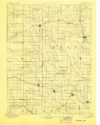
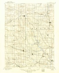
Editions of this 1894 Hiawatha Map
4 editions found

Other maps of this area

1885 · Atchison
USGS Topo · 1:125,000

1886 · Oskaloosa
USGS Topo · 1:125,000

1888 · Oskaloosa
USGS Topo · 1:125,000

1888 · Atchison
USGS Topo · 1:125,000

1888 · Hiawatha
USGS Topo · 1:125,000

1889 · Seneca
USGS Topo · 1:125,000

1889 · Wamego
USGS Topo · 1:125,000

1889 · Topeka
USGS Topo · 1:125,000

1893 · Atchison
USGS Topo · 1:125,000

1894 · Oskaloosa
USGS Topo · 1:125,000