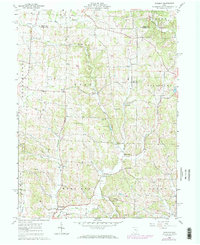
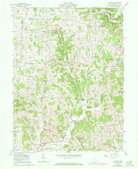
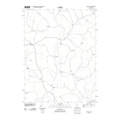
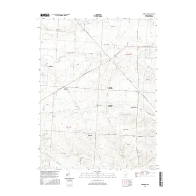
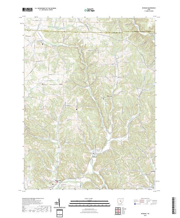
1961 Map of Hickman
USGS Topo · Published 1971About this map
The Jackson Oil and Gas Field dominates the northern reaches of this Licking County landscape, where numerous Gas Wells and Drill Holes dot the ridges above Rocky Fork. This early 1960s survey, with later revisions, shows a rural economy transitioning between traditional agriculture and resource extraction. Small crossroads settlements like Hickman and Wilkins Run serve as anchors for the local community, which is tied together by a network of country churches such as Burrell Chapel and Eden Ch.
Find a feature on this map
39 named features on this map. Tap any name to fly to it.
Don’t see what you’re looking for? This feature index may not catch every label — zoom into the map to look around manually.
Map Details
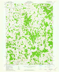
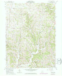
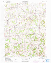
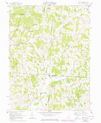
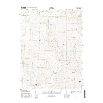
Editions of this 1961 Hickman Map
4 editions found
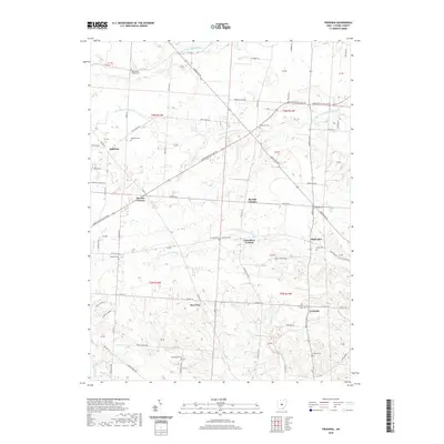
Historical Maps of Rain Rock Through Time
18 maps found
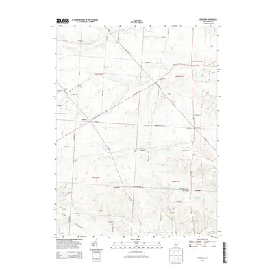
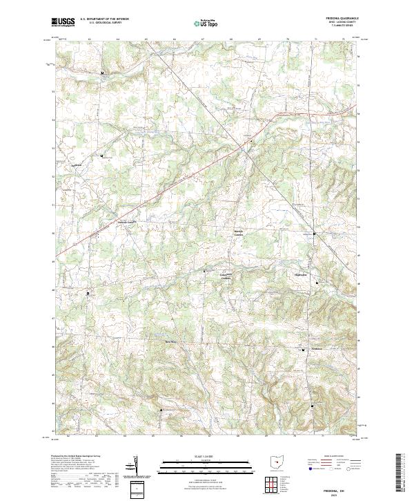
1961 Fredonia
Licking County, OH
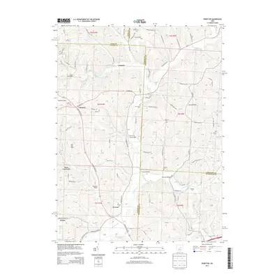
1961 Hickman
Licking County, OH
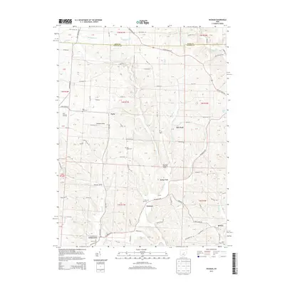
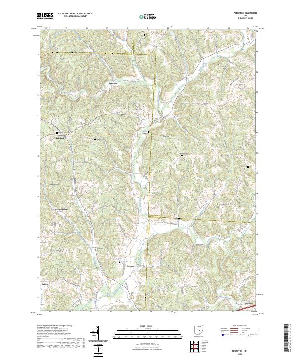
1962 Perryton
Licking County, OH
2010 Fredonia
Licking County, OH
2010 Hickman
Licking County, OH
2010 Perryton
Licking County, OH
2013 Fredonia
Licking County, OH
2013 Hickman
Licking County, OH
2013 Perryton
Licking County, OH
2016 Fredonia
Licking County, OH
2016 Hickman
Licking County, OH
2016 Perryton
Licking County, OH
2019 Fredonia
Licking County, OH
2019 Hickman
Licking County, OH
2019 Perryton
Licking County, OH
2023 Fredonia
Licking County, OH
2023 Hickman
Licking County, OH
2023 Perryton
Licking County, OH
Featured Locations
- Mary Ann Township, OH
- Newton Township, OH
- Clay Township, OH
- Hickman, Mary Ann Township
- Rain Rock, Eden Township