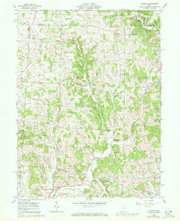
1961 Map of Hickman
USGS Topo · Published 1972About this map
The Oil and Gas Field landscape of northeast Licking County is defined by its deep drainages and rural crossroads. Small settlements like Hickman and Purity are established near the valleys of Rocky Fork and Pleasant Valley Run, reflecting a nineteenth-century footprint that persisted into the mid-twentieth century. The map reveals a community-centered landscape with numerous landmarks for genealogists, including Burrell Chapel, Eden Ch, and several small burial grounds such as Miles Chapel Cem.
Find a feature on this map
33 named features on this map. Tap any name to fly to it.
Don’t see what you’re looking for? This feature index may not catch every label — zoom into the map to look around manually.
Map Details
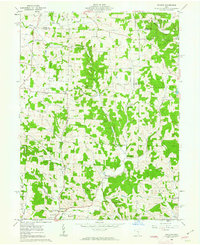
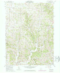
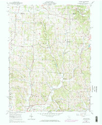
Editions of this 1961 Hickman Map
4 editions found
Other maps of this area

1909 · Newark
USGS Topo · 1:62,500

1910 · Frazeysburg
USGS Topo · 1:62,500

1912 · Gambier
USGS Topo · 1:62,500

1913 · Brinkhaven
USGS Topo · 1:62,500

1914 · Gambier
USGS Topo · 1:62,500

1915 · Brinkhaven
USGS Topo · 1:62,500

1943 · Gambier
USGS Topo · 1:62,500

1950 · Marion
USGS Topo · 1:250,000

1961 · Hanover
USGS Topo · 1:24,000

1961 · Newark
USGS Topo · 1:24,000