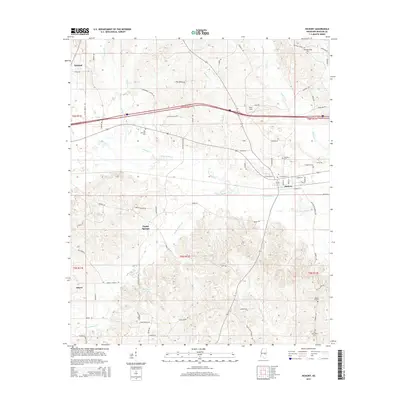
2015 Map of Hickory
USGS Topo · Published 2015About this map
Hickory and Newton anchor this Newton County landscape, where the town of Hickory serves as a central hub for a dense network of local roads including W College St and Emanuel St. The surrounding countryside is defined by the headwaters and tributaries of Potterchitto Cr and Bogue Falema Cr, which meander through a terrain marked by family-named routes like Gentry Rd and Ferguson Rd. For genealogists and local historians, the sheet is particularly valuable for its record of community landmarks, including the Rose Field church site and several burial grounds like Old Norman Cem and Old Good Hope Cem. The presence of the Experiment Station Rd suggests a landscape shaped by agricultural research and development alongside smaller settlements like Poplar Springs and Liberty.
Find a feature on this map
79 named features on this map. Tap any name to fly to it.
Don’t see what you’re looking for? This feature index may not catch every label — zoom into the map to look around manually.
Map Details
Editions of this 2015 Hickory Map
This is the sole edition of this map. No revisions or reprints were ever made.
Other maps of this area

1953 · Meridian
USGS Topo · 1:250,000

1957 · Meridian
USGS Topo · 1:250,000

1957 · Chunky
USGS Topo · 1:62,500

1957 · Enterprise
USGS Topo · 1:62,500

1965 · Meridian
USGS Topo · 1:250,000

1966 · Hickory
USGS Topo · 1:24,000

1966 · Newton
USGS Topo · 1:24,000

1966 · Decatur NW
USGS Topo · 1:24,000

1966 · Decatur
USGS Topo · 1:24,000

1970 · Hero
USGS Topo · 1:24,000