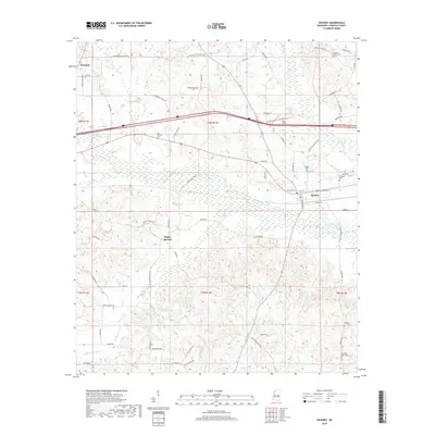
2018 Map of Hickory
USGS Topo · Published 2018About this map
Hickory sits at the heart of this landscape, where local roads such as W College St and Church St intersect within the town's grid. The surrounding area in Newton County is defined by its small settlements and rural homesteads, including Poplar Springs to the southwest and the eastern edge of Newton. This 2018 survey reveals a terrain deeply connected to its cemeteries, which serve as vital markers for local genealogy. Notable sites include Old Norman Cem, Ferguson Cem, and Spring Hill Cem, often located near crossroads or high ground.
Find a feature on this map
75 named features on this map. Tap any name to fly to it.
Don’t see what you’re looking for? This feature index may not catch every label — zoom into the map to look around manually.
Map Details
Editions of this 2018 Hickory Map
This is the sole edition of this map. No revisions or reprints were ever made.
Other maps of this area

1953 · Meridian
USGS Topo · 1:250,000

1957 · Meridian
USGS Topo · 1:250,000

1957 · Chunky
USGS Topo · 1:62,500

1957 · Enterprise
USGS Topo · 1:62,500

1965 · Meridian
USGS Topo · 1:250,000

1966 · Hickory
USGS Topo · 1:24,000

1966 · Newton
USGS Topo · 1:24,000

1966 · Decatur NW
USGS Topo · 1:24,000

1966 · Decatur
USGS Topo · 1:24,000

1970 · Hero
USGS Topo · 1:24,000