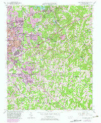
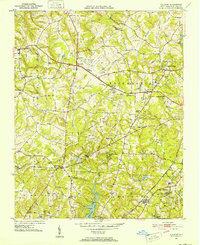
1950 Map of High Point East
USGS Topo · Published 1983About this map
The Southern Railway corridor serves as a central spine for this landscape, documenting the mid-century expansion of High Point and the neighboring communities of Jamestown and Archdale. This 1950 data, later updated with urban extensions in the early 1980s, captures a transition from traditional rural crossroad settlements like Kirkman Crossroad and Miles Crossroad to established suburban neighborhoods such as Melbourne Heights and Sherwood Village. The presence of High Point College and numerous local schools, including William Penn High Sch and Emma Blair Sch, indicates a maturing civic infrastructure.
Find a feature on this map
53 named features on this map. Tap any name to fly to it.
Don’t see what you’re looking for? This feature index may not catch every label — zoom into the map to look around manually.
Map Details
Editions of this 1950 High Point East Map
3 editions found
Other maps of this area
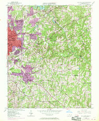
1949 · High Point West
USGS Topo · 1:24,000
1950 · High Point East
USGS Topo · 1:24,000

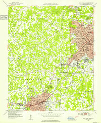
1951 · High Point East
USGS Topo · 1:24,000
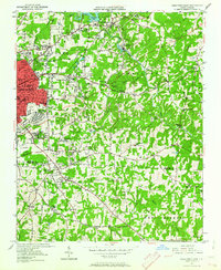
1951 · Guilford
USGS Topo · 1:24,000
1951 · Fair Grove
USGS Topo · 1:24,000
1951 · Greensboro
USGS Topo · 1:24,000

1953 · Raleigh
USGS Topo · 1:250,000

1953 · Charlotte
USGS Topo · 1:250,000

1953 · Winston-Salem
USGS Topo · 1:250,000

1953 · Greensboro
USGS Topo · 1:250,000