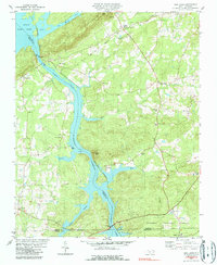
1980 Map of High Rock
USGS Topo · Published 1990About this map
High Rock Mountain towers over the confluence of the Yadkin River and High Rock Lake, anchoring a landscape defined by large-scale water management and timber. This survey captures the region as the Tuckertown Reservoir flooded the river valley, creating a complex shoreline that redirected local commerce away from the old riverbanks. The Winston-Salem Southbound railroad snakes along the western shore, passing through High Rock and Poletown, while the eastern portion of the map is dominated by the sprawling Uwharrie National Forest. Genealogists will find a high density of rural institutions, including Healing Springs, Newsom, and numerous family-named houses of worship such as Taylor Grove Ch and Chandler Grove Ch. The inclusion of the Stokes Ferry Bridge and the Lookout Tower near Healing Springs illustrates the transition from traditional river crossings to modern forest and utility management.
Find a feature on this map
38 named features on this map. Tap any name to fly to it.
Don’t see what you’re looking for? This feature index may not catch every label — zoom into the map to look around manually.
Map Details
Editions of this 1980 High Rock Map
2 editions found
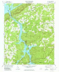
Other maps of this area

1949 · High Rock
USGS Topo · 1:24,000

1949 · Denton NW
USGS Topo · 1:24,000

1953 · Charlotte
USGS Topo · 1:250,000

1954 · Charlotte
USGS Topo · 1:250,000

1957 · Mount Pleasant
USGS Topo · 1:62,500

1957 · Albemarle
USGS Topo · 1:62,500

1957 · Denton
USGS Topo · 1:62,500

1960 · Charlotte
USGS Topo · 1:250,000

1962 · Charlotte
USGS Topo · 1:250,000

1962 · Southmont
USGS Topo · 1:24,000