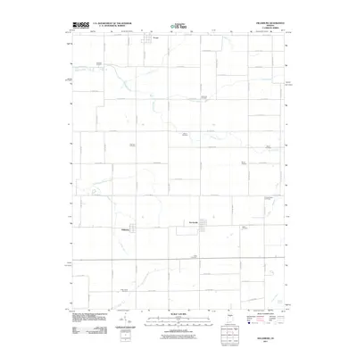
2011 Map of Hillisburg
USGS Topo · Published 2011About this map
The small settlements of Hillisburg and Scircleville anchor this rural Clinton County landscape, where the flat Midwestern topography is defined by an extensive network of man-made drainage systems. Features like Stump Ditch, Davis DITCH, and Sandlin Ditch crisscross the farmland to manage water for the surrounding agriculture. Natural watercourses such as South Fork Wildcat Creek and Swamp Creek meander through the grid-like road system, which remains largely faithful to original section lines.
Find a feature on this map
68 named features on this map. Tap any name to fly to it.
Don’t see what you’re looking for? This feature index may not catch every label — zoom into the map to look around manually.
Map Details
Editions of this 2011 Hillisburg Map
This is the sole edition of this map. No revisions or reprints were ever made.
Other maps of this area

1953 · Danville
USGS Topo · 1:250,000

1955 · Danville
USGS Topo · 1:250,000

1956 · Danville
USGS Topo · 1:250,000

1960 · Kokomo West
USGS Topo · 1:24,000

1960 · Kempton
USGS Topo · 1:24,000

1961 · Michigantown
USGS Topo · 1:24,000

1961 · Russiaville
USGS Topo · 1:24,000

1961 · Sheridan
USGS Topo · 1:24,000

1961 · Mechanicsburg
USGS Topo · 1:24,000

1961 · Hillisburg
USGS Topo · 1:24,000