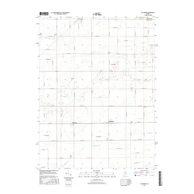
2016 Map of Hillisburg
USGS Topo · Published 2016About this map
Hillisburg and Scircleville anchor the southern reaches of this landscape, situated along a transportation corridor that bisects the central Indiana plains. The region is defined by an intricate network of agricultural drainage, where engineered waterways like Kent Ditch, Stump Ditch, and Dunn Ditch weave between natural flows including the S Fork Wildcat Cr and Sugar Cr. This highly managed water system illustrates the transition of the northern Clinton County prairies into productive farmland.
Find a feature on this map
91 named features on this map. Tap any name to fly to it.
Don’t see what you’re looking for? This feature index may not catch every label — zoom into the map to look around manually.
Map Details
Editions of this 2016 Hillisburg Map
This is the sole edition of this map. No revisions or reprints were ever made.
Other maps of this area

1953 · Danville
USGS Topo · 1:250,000

1955 · Danville
USGS Topo · 1:250,000

1956 · Danville
USGS Topo · 1:250,000

1960 · Kokomo West
USGS Topo · 1:24,000

1960 · Kempton
USGS Topo · 1:24,000

1961 · Michigantown
USGS Topo · 1:24,000

1961 · Russiaville
USGS Topo · 1:24,000

1961 · Sheridan
USGS Topo · 1:24,000

1961 · Mechanicsburg
USGS Topo · 1:24,000

1961 · Hillisburg
USGS Topo · 1:24,000