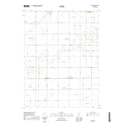
2019 Map of Hillisburg
USGS Topo · Published 2019About this map
The small settlements of Hillisburg, Forest, and Scircleville anchor this portion of Clinton County, Indiana, just south of the Howard County line. The landscape is defined by an extensive network of drainage ditches and creeks, reflecting the area's agricultural development. Waterways such as S Fork Wildcat Cr, Kilmore Creek, and Sugar Cr traverse the township, often supplemented by engineered channels like Stump Ditch and Davis Ditch. For genealogists and local historians, the map is remarkably dense with burial sites. Numerous family and community landmarks are noted, including Old Liberty Cem, Prairie Chapel Cem, and Kings Corner Cem. These sites, scattered among the grid of county roads, preserve the names of the early families who settled the fertile plains between the branches of the Wildcat Creek.
Find a feature on this map
80 named features on this map. Tap any name to fly to it.
Don’t see what you’re looking for? This feature index may not catch every label — zoom into the map to look around manually.
Map Details
Editions of this 2019 Hillisburg Map
This is the sole edition of this map. No revisions or reprints were ever made.
Other maps of this area

1953 · Danville
USGS Topo · 1:250,000

1955 · Danville
USGS Topo · 1:250,000

1956 · Danville
USGS Topo · 1:250,000

1960 · Kokomo West
USGS Topo · 1:24,000

1960 · Kempton
USGS Topo · 1:24,000

1961 · Michigantown
USGS Topo · 1:24,000

1961 · Russiaville
USGS Topo · 1:24,000

1961 · Sheridan
USGS Topo · 1:24,000

1961 · Mechanicsburg
USGS Topo · 1:24,000

1961 · Hillisburg
USGS Topo · 1:24,000