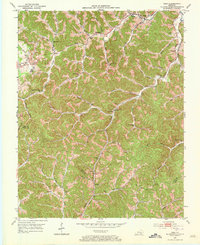
1952 Map of Hima
USGS Topo · Published 1973About this map
Hima and Sibert anchor the northern landscape of this 1952 study, where the Louisville and Nashville railroad tracks follow the winding course of Goose Creek. The area is defined by a dense network of mountain schools and family cemeteries that speak to the dispersed rural life of Clay County at mid-century. Features like Pigeon Roost Sch, Brown Sch, and Hacker Sch are scattered along the narrow valleys of Horse Branch and Engine Branch.
Find a feature on this map
64 named features on this map. Tap any name to fly to it.
Don’t see what you’re looking for? This feature index may not catch every label — zoom into the map to look around manually.
Map Details
Editions of this 1952 Hima Map
2 editions found
Other maps of this area

1886 · Cumberland Gap
USGS Topo · 1:125,000

1888 · Cumberland Gap
USGS Topo · 1:125,000

1891 · Manchester
USGS Topo · 1:125,000

1891 · Cumberland Gap
USGS Topo · 1:125,000

1903 · Pineville
USGS Topo · 1:48,000

1952 · Portersburg
USGS Topo · 1:24,000

1952 · Heidrick
USGS Topo · 1:24,000

1952 · Hima
USGS Topo · 1:24,000

1952 · Blackwater
USGS Topo · 1:24,000

1952 · Fount
USGS Topo · 1:24,000