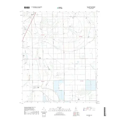
2018 Map of Hollywood
USGS Topo · Published 2018About this map
The Mississippi Delta landscape of northern Tunica County is defined by a dense network of bayous and drainage features, as seen in this 2018 survey. The area around Hollywood and Tunica is characterized by its agricultural geometry, where roads like Prichard Rd and Beatline Rd slice through the alluvial plain. Significant water bodies such as Mud Lake and Hollywood Brake point to the region's complex hydrological history, while smaller settlements like White Oak and Little Texas anchor the rural landscape.
Find a feature on this map
69 named features on this map. Tap any name to fly to it.
Don’t see what you’re looking for? This feature index may not catch every label — zoom into the map to look around manually.
Map Details
Editions of this 2018 Hollywood Map
This is the sole edition of this map. No revisions or reprints were ever made.
Other maps of this area

1908 · Dundee
USGS Topo · 1:24,000

1908 · Hollywood
USGS Topo · 1:24,000

1908 · Walnut Lake
USGS Topo · 1:24,000

1910 · Dundee
USGS Topo · 1:31,680

1910 · Walnut Lake
USGS Topo · 1:31,680

1913 · Hollywood
USGS Topo · 1:31,680

1931 · Horseshoe Lake
USGS Topo · 1:62,500

1932 · Horn Lake
USGS Topo · 1:48,000

1932 · Crenshaw
USGS Topo · 1:62,500

1935 · Crenshaw
USGS Topo · 1:62,500