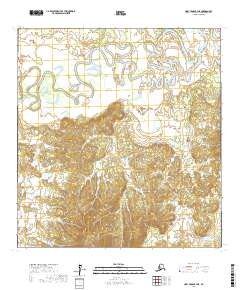
2017 Map of Holy Cross B-4 NE
USGS Topo · Published 2017About this map
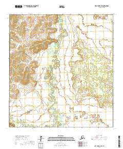
Bonasila River snakes across the northern portion of this interior Alaska landscape, creating a complex network of meanders and oxbow lakes within the Yukon-Koyukuk region. This topographic study captures the sharp transition from the broad, silty lowlands of the river valley to the rising elevation and intricate drainage systems of the south. In the southeastern corner, the headwaters of Paradise Cr emerge from the high ground, carving narrow valleys through the upland terrain. The lack of established roads or permanent settlements on the map underscores the isolation of this subarctic wilderness, where the movement of water defines the geography. Researchers can observe the natural shifts of the river channel and the varying relief across multiple townships, including t27n r61w and t26n r61w, during the early twenty-first century.
Find a feature on this map
8 named features on this map. Tap any name to fly to it.
Don’t see what you’re looking for? This feature index may not catch every label — zoom into the map to look around manually.
Map Details
Editions of this 2017 Holy Cross B-4 NE Map
This is the sole edition of this map. No revisions or reprints were ever made.
Other maps of this area

1951 · Holy Cross
USGS Topo · 1:250,000

1952 · Holy Cross B-3
USGS Topo · 1:63,360

1952 · Holy Cross C-3
USGS Topo · 1:63,360

1952 · Holy Cross C-4
USGS Topo · 1:63,360

1952 · Holy Cross B-4
USGS Topo · 1:63,360

1952 · Holy Cross
USGS Topo · 1:250,000
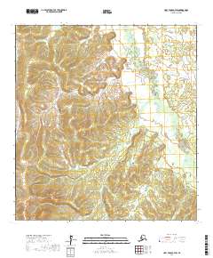
2017 · Holy Cross B-4 SW
USGS Topo · 1:25,000
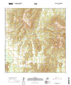
2017 · Holy Cross B-4 SE
USGS Topo · 1:25,000
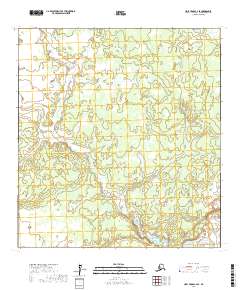
2017 · Holy Cross C-4 SE
USGS Topo · 1:25,000
2017 · Holy Cross C-4 SW
USGS Topo · 1:25,000