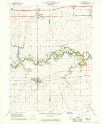
1968 Map of Homer
USGS Topo · Published 1969About this map
Homer and the winding Salt Fork river dominate this late-1960s landscape along the Champaign and Vermilion County line. The map records a critical period for local infrastructure, notably showing a large area of blue hatching along the river valley designated as "to be submerged at elevation 649," indicating planned reservoir development that would significantly alter the State Conservation Area.
Find a feature on this map
24 named features on this map. Tap any name to fly to it.
Don’t see what you’re looking for? This feature index may not catch every label — zoom into the map to look around manually.
Map Details
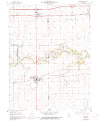
Editions of this 1968 Homer Map
2 editions found
Other maps of this area

1906 · Urbana
USGS Topo · 1:62,500

1931 · Fithian
USGS Topo · 1:48,000

1943 · Fithian
USGS Topo · 1:62,500

1953 · Danville
USGS Topo · 1:250,000

1953 · Indianapolis
USGS Topo · 1:250,000

1955 · Danville
USGS Topo · 1:250,000

1956 · Danville
USGS Topo · 1:250,000

1956 · Indianapolis
USGS Topo · 1:250,000

1956 · Newman
USGS Topo · 1:62,500

1956 · Villa Grove
USGS Topo · 1:62,500