Loading...
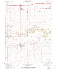
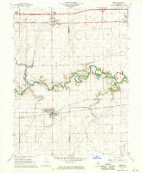
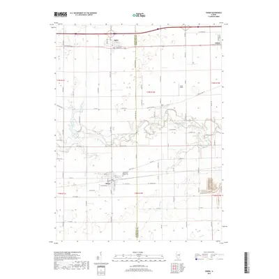
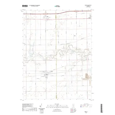
Loading map...1968 Map of Homer
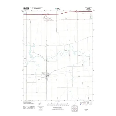
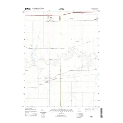
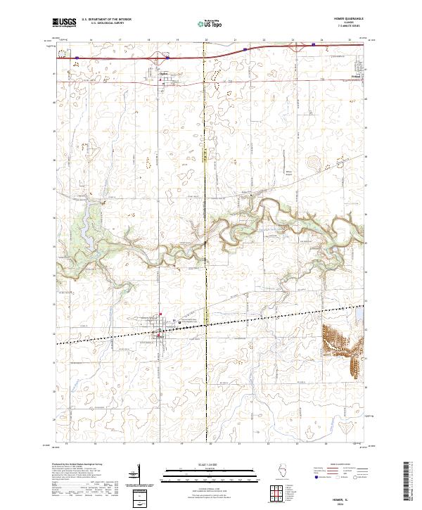
USGS Topo · Published 1989About this map
The Salt Fork river winds across this landscape, separating the northern settlements from the southern farmsteads along the Champaign Co Vermilion Co line. Established rail corridors define the movement of the era, with the Penn Central line serving the northern towns of Ogden and Fithian, while the Norfolk and Western tracks pass directly through the village of Homer to the south.
Find a feature on this map
25 named features on this map. Tap any name to fly to it.
Don’t see what you’re looking for? This feature index may not catch every label — zoom into the map to look around manually.
Map Details
Date Portrayed1968
Date Published1989
PublisherU.S. Geological Survey
Map TypeTopographic
Scale1:24,000
Physical Dimensions22 x 26.8 inches
Editions of this 1968 Homer Map
2 editions found
Historical Maps of Homer Through Time
6 maps found
Featured Locations
Source Details
SourceU.S. Geological Survey
CopyrightPublic Domain