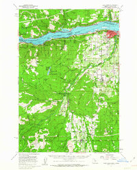
1957 Map of Hood River
USGS Topo · Published 1963About this map
The Columbia River serves as the dominant axis of this mid-century survey, dividing the steep terrain of Washington and Oregon before the full impact of modern regional development. The riverside is a corridors of heavy transit, featuring the Union Pacific and Spokane Portland and Seattle railroads alongside the Lewis and Clark Highway. Further south, the landscape transitions into the agricultural and timber-rich Dukes Valley, where the community of Dee and its associated Dee Flat Flume point to the area's historical reliance on water-driven industry and irrigation. Local life is anchored by institutions like the Wy East High Sch and Mid Valley Jr H S, while the surrounding Mt Hood National Forest and several riverfront state parks like Viento State Park preserve the character of the Gorge landscape.
Find a feature on this map
127 named features on this map. Tap any name to fly to it.
Don’t see what you’re looking for? This feature index may not catch every label — zoom into the map to look around manually.
Map Details
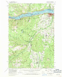
Editions of this 1957 Hood River Map
3 editions found

Other maps of this area

1924 · Mount Hood
USGS Topo · 1:125,000

1926 · Hood River
USGS Topo · 1:125,000

1927 · Mount Hood
USGS Topo · 1:125,000

1929 · Hood River
USGS Topo · 1:125,000

1930 · Dufur
USGS Topo · 1:125,000

1934 · Dufur
USGS Topo · 1:125,000

1934 · The Dalles
USGS Topo · 1:125,000

1953 · The Dalles
USGS Topo · 1:250,000

1956 · The Dalles
USGS Topo · 1:250,000

1957 · The Dalles
USGS Topo · 1:250,000