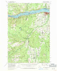
1957 Map of Hood River
USGS Topo · Published 1971About this map
The Columbia River serves as the focal point for this mid-century survey, dividing the Washington and Oregon shorelines during a period of established timber and agricultural production. On the Oregon side, the Hood River Valley is densely detailed with orchards and irrigation infrastructure like Farmers Ditch, supporting settlements from Odell to Parkdale. The presence of the OSC Ag Exp Sta and numerous schools like Wy East High Sch reflects the valley's growth as a farming hub.
Find a feature on this map
101 named features on this map. Tap any name to fly to it.
Don’t see what you’re looking for? This feature index may not catch every label — zoom into the map to look around manually.
Map Details
Editions of this 1957 Hood River Map
3 editions found

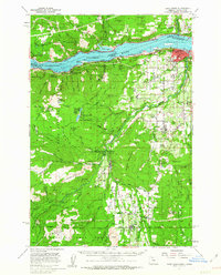
Other maps of this area

1924 · Mount Hood
USGS Topo · 1:125,000

1926 · Hood River
USGS Topo · 1:125,000

1927 · Mount Hood
USGS Topo · 1:125,000

1929 · Hood River
USGS Topo · 1:125,000

1930 · Dufur
USGS Topo · 1:125,000

1934 · Dufur
USGS Topo · 1:125,000

1934 · The Dalles
USGS Topo · 1:125,000

1953 · The Dalles
USGS Topo · 1:250,000

1956 · The Dalles
USGS Topo · 1:250,000

1957 · The Dalles
USGS Topo · 1:250,000