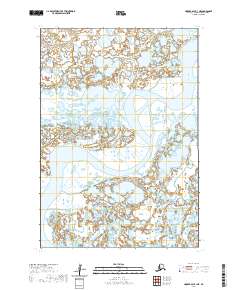
2020 Map of Hooper Bay B-1 NE
USGS Topo · Published 2020About this map
The Kashunuk River meanders through the heart of this coastal Alaskan landscape within the Kusilvak Census Area. This hydrographic network is defined by the winding paths of the Kuyungsik River and the Aphrewn River, which illustrate the complex drainage patterns characteristic of the Yukon-Kuskokwim Delta. The map also traces the Nariyakuk River in the northwestern portion of the sheet. Absent of established roads or permanent settlements, the geography is segmented by the Public Land Survey System grid, including townships t16n r89w and t16n r88w. The dominance of these waterways underscores their historical importance as the primary corridors for travel and subsistence in this remote coastal region.
Find a feature on this map
8 named features on this map. Tap any name to fly to it.
Don’t see what you’re looking for? This feature index may not catch every label — zoom into the map to look around manually.
Map Details
Editions of this 2020 Hooper Bay B-1 NE Map
This is the sole edition of this map. No revisions or reprints were ever made.
Other maps of this area

1951 · Marshall
USGS Topo · 1:250,000

1951 · Hooper Bay
USGS Topo · 1:250,000
1952 · Marshall C-8
USGS Topo · 1:63,360
1952 · Hooper Bay C-1
USGS Topo · 1:63,360

1953 · Hooper Bay
USGS Topo · 1:250,000
1953 · Hooper Bay B-1
USGS Topo · 1:63,360
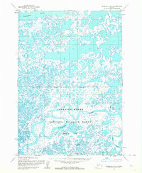
1953 · Marshall B-8
USGS Topo · 1:63,360

1954 · Marshall
USGS Topo · 1:250,000

1964 · Hooper Bay
USGS Topo · 1:250,000
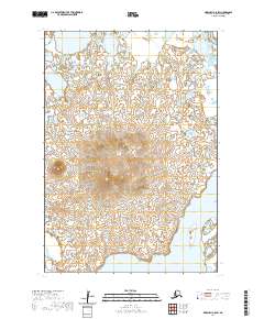
2020 · Marshall C-8 SW
USGS Topo · 1:25,000