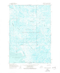
1953 Map of Hooper Bay B-2
USGS Topo · Published 1977About this map
The complex wetland hydrology of the Yukon-Kuskokwim Delta is captured in this survey, where the Clarence Rhode National Wildlife Range spans a labyrinth of tidally influenced waterways. A significant cultural anchor is found at the Old Chevak Ruins along the Kashunuk River, marking a site of traditional importance in an area characterized by shifting channels and extensive coastal flats. The map reveals a landscape defined by the movement of water and sediment, where the Ninglikfak River and Keoklevik River carve through vast stretches of Sand and Mud. In the southern reaches, the Angyoyaravak Bay coastline receives the discharge of the Tutakoke River, illustrating the interface between the Bering Sea and the Alaskan interior during the mid-twentieth century.
Find a feature on this map
8 named features on this map. Tap any name to fly to it.
Don’t see what you’re looking for? This feature index may not catch every label — zoom into the map to look around manually.
Map Details
Editions of this 1953 Hooper Bay B-2 Map
2 editions found
Other maps of this area

1951 · Hooper Bay
USGS Topo · 1:250,000
1952 · Hooper Bay B-3
USGS Topo · 1:63,360

1952 · Hooper Bay C-3
USGS Topo · 1:63,360
1952 · Hooper Bay A-2
USGS Topo · 1:63,360
1952 · Hooper Bay C-1
USGS Topo · 1:63,360

1953 · Hooper Bay
USGS Topo · 1:250,000
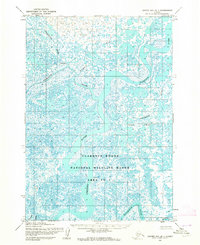
1953 · Hooper Bay B-1
USGS Topo · 1:63,360
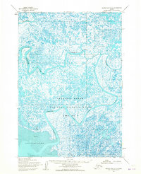
1953 · Hooper Bay B-2
USGS Topo · 1:63,360

1953 · Hooper Bay C-2
USGS Topo · 1:63,360
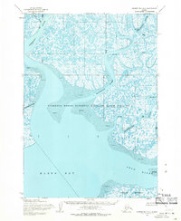
1954 · Hooper Bay A-1
USGS Topo · 1:63,360