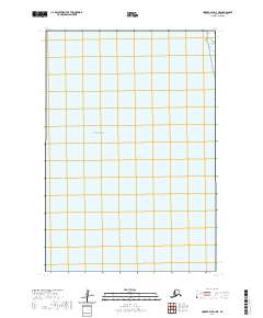
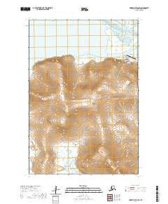
2020 Map of Hooper Bay D-3 NE
USGS Topo · Published 2020About this map
Scammon Bay and the coastal waters of the Bering Sea dominate this remote coastal landscape in the Kusilvak Census Area. As a modern 2020 record of this maritime environment, the map delineates the vast tidal flats and coastal interfaces through a detailed public land survey system. The grid system, including townships t22n r91w, t22n r90w, t21n r91w, and t21n r90w, provides the primary structural reference for this largely unpopulated stretch of the Alaskan coastline. The focus here is strictly on the natural geography and the administrative surveying boundaries that define the region's wilderness character.
Find a feature on this map
6 named features on this map. Tap any name to fly to it.
Don’t see what you’re looking for? This feature index may not catch every label — zoom into the map to look around manually.
Map Details
Editions of this 2020 Hooper Bay D-3 NE Map
This is the sole edition of this map. No revisions or reprints were ever made.
Other maps of this area

1951 · Hooper Bay
USGS Topo · 1:250,000

1951 · Black
USGS Topo · 1:250,000

1952 · Black A-2
USGS Topo · 1:63,360

1952 · Hooper Bay D-2
USGS Topo · 1:63,360

1953 · Hooper Bay
USGS Topo · 1:250,000
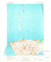
1953 · Hooper Bay D-3
USGS Topo · 1:63,360

1964 · Hooper Bay
USGS Topo · 1:250,000
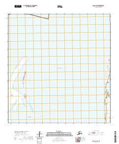
2020 · Black A-2 SW
USGS Topo · 1:25,000
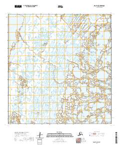
2020 · Black A-2 SE
USGS Topo · 1:25,000
2020 · Hooper Bay D-2 SW
USGS Topo · 1:25,000