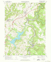
1971 Map of Hooversville
USGS Topo · Published 1973About this map
Quemahoning Reservoir dominates the central landscape of this Somerset County quadrangle, where the waters of Quemahoning Creek meet the surrounding industrial and agricultural terrain. In the early 1970s, the region was characterized by the heavy footprint of the coal industry, evidenced by numerous Strip Mine operations scattered across the hills of Jenner and Quemahoning. These extraction sites sit alongside established community hubs like Hooversville, Davidsville, and the company-town layout of Jerome.
Find a feature on this map
50 named features on this map. Tap any name to fly to it.
Don’t see what you’re looking for? This feature index may not catch every label — zoom into the map to look around manually.
Map Details
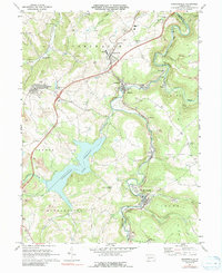
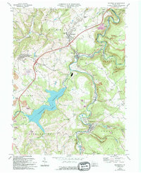
Editions of this 1971 Hooversville Map
3 editions found
Other maps of this area

1904 · Johnstown
USGS Topo · 1:62,500

1907 · Johnstown
USGS Topo · 1:62,500

1913 · Somerset
USGS Topo · 1:62,500

1914 · Windber
USGS Topo · 1:62,500

1915 · Somerset
USGS Topo · 1:62,500

1916 · Windber
USGS Topo · 1:62,500

1920 · New Florence
USGS Topo · 1:62,500

1921 · New Florence
USGS Topo · 1:48,000

1922 · New Florence
USGS Topo · 1:62,500

1944 · Somerset
USGS Topo · 1:62,500