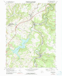
1971 Map of Hooversville
USGS Topo · Published 1991About this map
Industrial activity and rural settlement define this portion of the Somerset County landscape during the early 1970s. The Stonycreek River serves as a central corridor for transport and industry, flanked by the Baltimore and Ohio and Penn Central rail lines that connect towns like Hooversville and Hollsopple. The map documents a topography marked by extensive extraction, with numerous strip mines dotting the ridges between Bens Creek and the river valley.
Find a feature on this map
54 named features on this map. Tap any name to fly to it.
Don’t see what you’re looking for? This feature index may not catch every label — zoom into the map to look around manually.
Map Details
Editions of this 1971 Hooversville Map
3 editions found
Other maps of this area

1904 · Johnstown
USGS Topo · 1:62,500

1907 · Johnstown
USGS Topo · 1:62,500

1913 · Somerset
USGS Topo · 1:62,500

1914 · Windber
USGS Topo · 1:62,500

1915 · Somerset
USGS Topo · 1:62,500

1916 · Windber
USGS Topo · 1:62,500

1920 · New Florence
USGS Topo · 1:62,500

1921 · New Florence
USGS Topo · 1:48,000

1922 · New Florence
USGS Topo · 1:62,500

1944 · Somerset
USGS Topo · 1:62,500