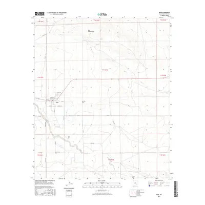
2017 Map of Hope
USGS Topo · Published 2017About this map
Hope serves as the central hub of this high-desert landscape in southeastern New Mexico, where the grid of the town site meets the winding course of the Rio Peñasco. The town's layout is defined by named streets like Main St and Penasco St, extending into a rural network of county roads such as Peacock Rd and Armstrong Rd. Genealogists and local historians can locate the Hope South Cem situated south of the main settlement near the riverbanks.
Find a feature on this map
36 named features on this map. Tap any name to fly to it.
Don’t see what you’re looking for? This feature index may not catch every label — zoom into the map to look around manually.
Map Details
Editions of this 2017 Hope Map
This is the sole edition of this map. No revisions or reprints were ever made.
Other maps of this area

1954 · Carlsbad
USGS Topo · 1:250,000

1955 · Hope NW
USGS Topo · 1:24,000

1955 · Hope NE
USGS Topo · 1:24,000

1955 · Hope
USGS Topo · 1:24,000

1956 · Hope
USGS Topo · 1:24,000

1956 · Parish Ranch
USGS Topo · 1:24,000

1956 · Antelope Sink
USGS Topo · 1:24,000

1956 · Hope SE
USGS Topo · 1:24,000

1958 · Carlsbad
USGS Topo · 1:250,000

1960 · Teel Ranch
USGS Topo · 1:62,500