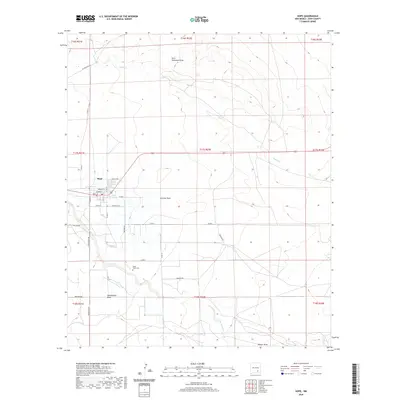
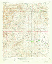
2020 Map of Hope
USGS Topo · Published 2020About this map
Hope serves as the focal point of this arid Eddy County landscape, where the town's street grid is defined by thoroughfares like Main St, Penasco St, and Cholla Ave. The settlement pattern reflects a reliance on the intermittent drainage systems of the Pecos Valley, with the town situated north of the Rio Peñasco and south of Eagle Cr. The surrounding countryside is dissected by numerous topographical depressions, including Catclaw Draw and Paris Dainwood Draw, which highlight the hydraulic nature of this high-desert environment.
Find a feature on this map
36 named features on this map. Tap any name to fly to it.
Don’t see what you’re looking for? This feature index may not catch every label — zoom into the map to look around manually.
Map Details
Editions of this 2020 Hope Map
This is the sole edition of this map. No revisions or reprints were ever made.
Other maps of this area

1954 · Carlsbad
USGS Topo · 1:250,000
1955 · Hope NW
USGS Topo · 1:24,000
1955 · Hope NE
USGS Topo · 1:24,000
1955 · Hope
USGS Topo · 1:24,000
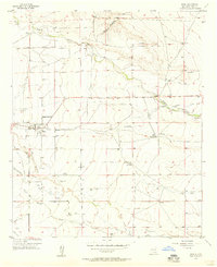
1956 · Hope
USGS Topo · 1:24,000
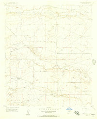
1956 · Parish Ranch
USGS Topo · 1:24,000
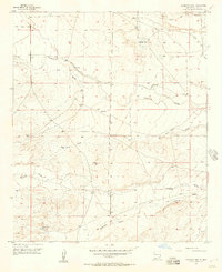
1956 · Antelope Sink
USGS Topo · 1:24,000
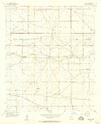
1956 · Hope SE
USGS Topo · 1:24,000

1958 · Carlsbad
USGS Topo · 1:250,000
1960 · Teel Ranch
USGS Topo · 1:62,500