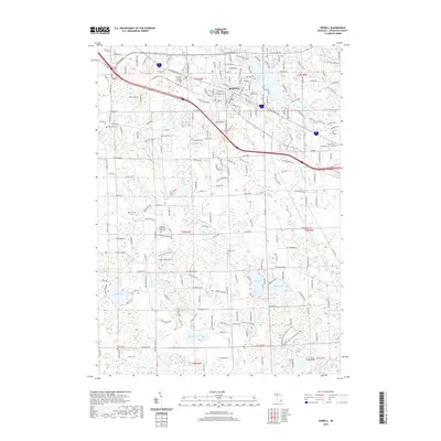
2019 Map of Howell
USGS Topo · Published 2019About this map
The Livingston County Courthouse serves as the central landmark for the city of Howell, situated at the intersection of major transit corridors like W Grand River Ave and W Highland Rd. This survey documents a landscape where urban expansion meets preserved rural history, evident in the numerous burial grounds such as Lakeview Cem and the Livingston County Poor Farm Cem. To the south, the terrain transitions into a dense network of kettle lakes and wetlands, including Coon Lake, Pardee Lake, and Cranberry Lake. The map reveals the area's modern development alongside recreational assets like the Brighton Rec Area Equestrian Trail and the campus of Cleary University. Significant watercourses, notably the S Br Shiawassee River and Red Cedar River, illustrate the drainage patterns that shaped the early settlement of this region.
Find a feature on this map
43 named features on this map. Tap any name to fly to it.
Don’t see what you’re looking for? This feature index may not catch every label — zoom into the map to look around manually.
Map Details
Editions of this 2019 Howell Map
This is the sole edition of this map. No revisions or reprints were ever made.
Other maps of this area

1902 · Dexter
USGS Topo · 1:62,500

1904 · Ann Arbor
USGS Topo · 1:125,000

1906 · Dexter
USGS Topo · 1:62,500

1907 · Howell
USGS Topo · 1:62,500

1908 · Ann Arbor
USGS Topo · 1:125,000

1908 · Fowlerville
USGS Topo · 1:62,500

1909 · Howell
USGS Topo · 1:62,500

1910 · Fowlerville
USGS Topo · 1:62,500

1919 · Stockbridge
USGS Topo · 1:62,500

1922 · Stockbridge
USGS Topo · 1:62,500