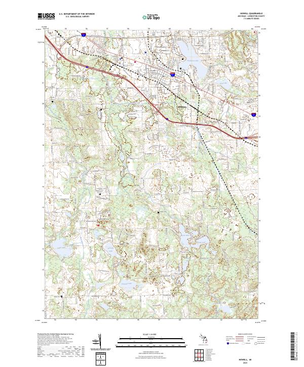
2023 Map of Howell
USGS Topo · Published 2023About this map
The Livingston County Courthouse serves as the civic anchor for Howell, situated at the convergence of historic thoroughfares like W Grand River Ave and W Clinton St. This survey reflects a landscape shaped by glacial hydrology, where the South Branch Shiawassee River and the Red Cedar River flow through a region dense with kettle lakes and wetlands. Prominent water bodies such as Thompson Lake, Coon Lake, and Pardee Lake define the eastern and southern reaches of the quadrangle, interspersed with geological features like Black Eagle Ridge and the Spruce Swamp. Genealogists will find a high density of burial sites documented, ranging from the central Lakeview Cem and Mount Olivet Cem to the outlying Livingston County Poor Farm Cem and Gilkes Cem, illustrating the long-standing settlement patterns of the county seat.
Find a feature on this map
45 named features on this map. Tap any name to fly to it.
Don’t see what you’re looking for? This feature index may not catch every label — zoom into the map to look around manually.
Map Details
Editions of this 2023 Howell Map
This is the sole edition of this map. No revisions or reprints were ever made.
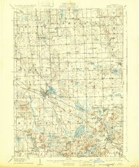
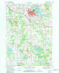
Historical Maps of Oceola Township Through Time
4 maps found