
1955 Map of Humptulips
USGS Topo · Published 1957About this map
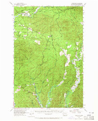
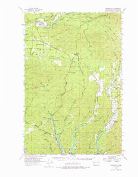
The Humptulips River and its numerous tributaries dominate this mid-century survey of the Olympic Peninsula timberlands. Centered on the settlement of Humptulips, the map reveals a landscape defined by industrial logging and water management. An extensive Logging Railroad network snakes through the northern hills, connecting remote outposts like Railroad Camp to the regional economy. Further south, the intricate forks of the Hoquiam River and Wishkah River flow toward the coast, where small communities such as New London and Aberdeen Gardens appear as early nodes of development. The presence of the Hoquiam Water Works and a prominent Pipeline underscores the critical role this watershed played in supporting the growing coastal urban centers. Local infrastructure is further detailed through family-named routes like Mc Nutt Road and essential rural landmarks including the Wishkah Valley School and the Vabm 605 Lookout.
Find a feature on this map
57 named features on this map. Tap any name to fly to it.
Don’t see what you’re looking for? This feature index may not catch every label — zoom into the map to look around manually.
Map Details
Editions of this 1955 Humptulips Map
3 editions found
Other maps of this area

1921 · Quinault Lake
USGS Topo · 1:62,500

1921 · Satsop
USGS Topo · 1:62,500

1938 · Moclips
USGS Topo · 1:62,500

1940 · Montesano
USGS Topo · 1:62,500

1941 · Mobray
USGS Topo · 1:62,500

1941 · Moclips
USGS Topo · 1:62,500

1941 · Grayland
USGS Topo · 1:62,500

1943 · Humptulips
USGS Topo · 1:62,500

1943 · Mobray
USGS Topo · 1:62,500

1943 · Copalis Beach
USGS Topo · 1:250,000