
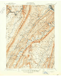
1904 Map of Huntingdon
USGS Topo · Published 1904About this map
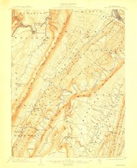
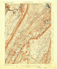
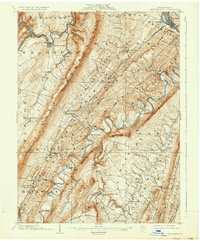
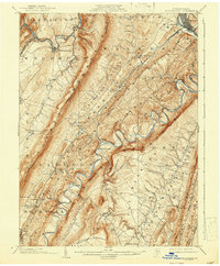
Tussey Mountain and the steep ridges of Warrior Ridge dominate this central Pennsylvania landscape, where the Juniata River and its Raystown Branch carve serpentine paths through the terrain. The map captures the region's industrial and transportation infrastructure at the start of the twentieth century, highlighted by the presence of the P. R. R. and the H. & B. T. M. R. R. servicing the valleys. Settlements like Huntingdon and Smithfield anchor the north, while smaller villages such as Cassville, Marklesburg, and McConnellstown are connected by a network of river crossings including Trexler Bridge and Entriken Bridge. A distinct industrial marker is found at Eagle Foundry near the southern boundary. The topography reveals a complex drainage system fed by numerous runs and creeks, including Great Trough Creek and Clover Creek, illustrating how the geology dictated the placement of roads and homesteads.
Find a feature on this map
88 named features on this map. Tap any name to fly to it.
Don’t see what you’re looking for? This feature index may not catch every label — zoom into the map to look around manually.
Map Details
Editions of this 1904 Huntingdon Map
6 editions found
Other maps of this area

1900 · Everett
USGS Topo · 1:62,500

1901 · Huntingdon
USGS Topo · 1:62,500

1902 · Everett
USGS Topo · 1:62,500

1902 · Hollidaysburg
USGS Topo · 1:62,500

1903 · Hollidaysburg
USGS Topo · 1:62,500

1919 · Menno
USGS Topo · 1:62,500

1920 · Altoona
USGS Topo · 1:62,500

1922 · Mt Union
USGS Topo · 1:48,000

1922 · Altoona
USGS Topo · 1:62,500

1923 · Tyrone
USGS Topo · 1:62,500