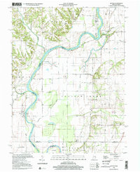
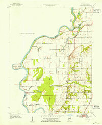
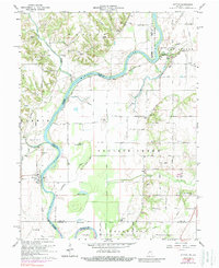
1998 Map of Hutton
USGS Topo · Published 2002This historical map portrays the area of Hutton in 1998, primarily covering Vigo County as well as portions of Illinois. Featuring a scale of 1:24000, this map provides a highly detailed snapshot of the terrain, roads, buildings, counties, and historical landmarks in the Hutton region at the time. Published in 2002, it is the sole known edition of this map.
Find a feature on this map
52 named features on this map. Tap any name to fly to it.
Don’t see what you’re looking for? This feature index may not catch every label — zoom into the map to look around manually.
Map Details
Editions of this 1998 Hutton Map
This is the sole edition of this map. No revisions or reprints were ever made.
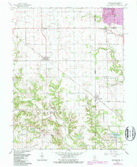
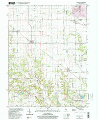
Historical Maps of Clark County Through Time
15 maps found
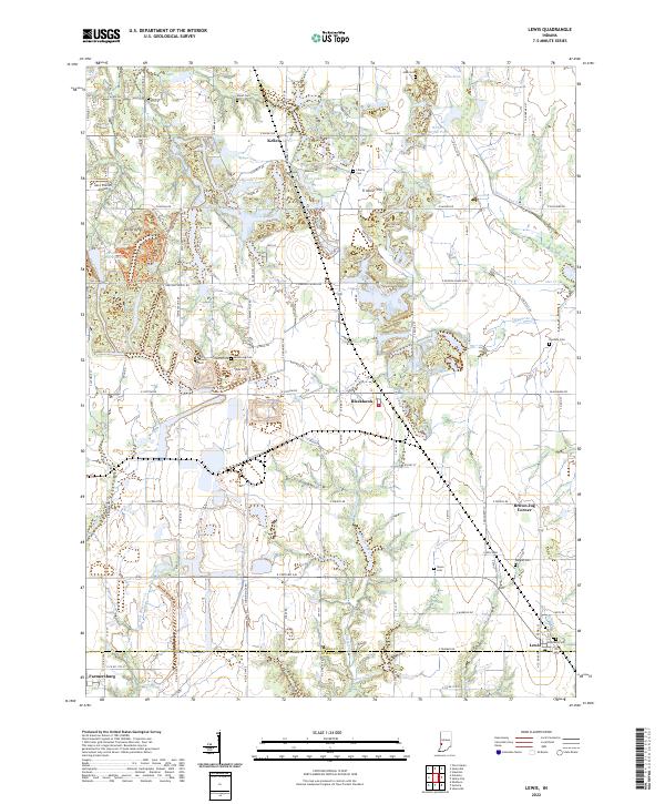
1940 Lewis
Vigo County, IN
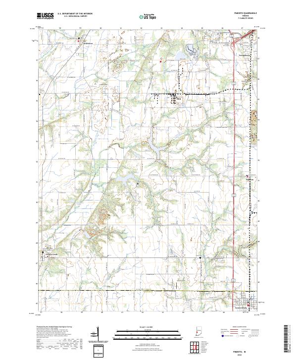
1940 Pimento
Vigo County, IN
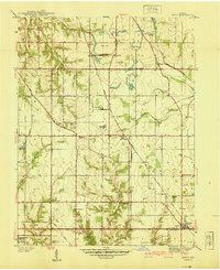
1942 Hutton
Vigo County, IN
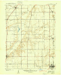
1952 Hutton
Vigo County, IN
1952 Lewis
Vigo County, IN
1958 Pimento
Vigo County, IN
1963 Lewis
Vigo County, IN
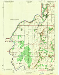
1964 Hutton
Vigo County, IN
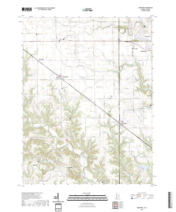
1966 Sandford
Vigo County, IN
1998 Hutton
Vigo County, IN
1998 Sandford
Vigo County, IN
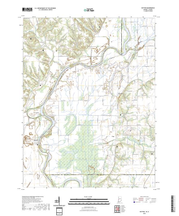
2022 Hutton
Vigo County, IN
2022 Lewis
Vigo County, IN
2022 Pimento
Vigo County, IN
2022 Sandford
Vigo County, IN