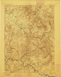
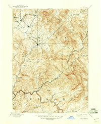
1894 Map of Idaho Basin
USGS Topo · Published 1898About this map
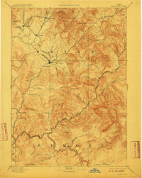
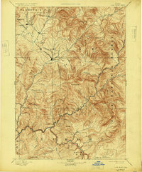
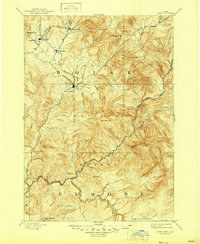
Idaho City serves as the focal point of this late-nineteenth-century study of the Idaho Basin, a region defined by its narrow gulches and early mining settlements. Surveyed just decades after the initial gold rush, the map reveals a dense network of mountain communities including Placerville, Pioneerville, Centerville, and Quartzburg. The landscape is dominated by the steep drainage systems of Grimes Creek and Moore Creek, which flow south toward the Boise River. The cartography by L. B. Kendall under the direction of J. W. Powell illustrates the difficult transit of the era, noting stops like Halfway House and the geothermal site at Warm Springs. To the south, the topography shifts from the serrated ridges of Thorn Creek Mtn. and Bald Mtn. to the broad expanse of Smith Prairie, providing a detailed view of the rugged terrain that shaped the Boise and Elmore county lines.
Find a feature on this map
57 named features on this map. Tap any name to fly to it.
Don’t see what you’re looking for? This feature index may not catch every label — zoom into the map to look around manually.
Map Details
Editions of this 1894 Idaho Basin Map
7 editions found


Other maps of this area

1891 · Bear Valley
USGS Topo · 1:125,000

1892 · Mountain Home
USGS Topo · 1:125,000

1892 · Boise
USGS Topo · 1:125,000

1892 · Bisuka
USGS Topo · 1:125,000

1892 · Camas Prairie
USGS Topo · 1:125,000

1893 · Mountain Home
USGS Topo · 1:125,000

1893 · Bear Valley
USGS Topo · 1:125,000

1893 · Camas Prairie
USGS Topo · 1:125,000

1894 · Bisuka
USGS Topo · 1:125,000

1894 · Squaw Creek
USGS Topo · 1:125,000