
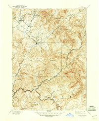
1894 Map of Idaho Basin
USGS Topo · Published 1902About this map
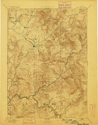
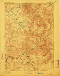
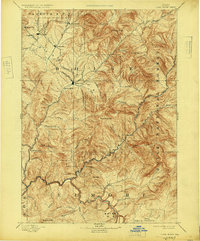
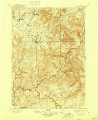
Gold rush-era settlements anchor this late-nineteenth-century reconnaissance of the Idaho Basin, highlighting the concentrated mining camps and mountainous terrain of the Boise Basin. Idaho City serves as a central hub, surrounded by a constellation of historic camps including Placerville, Pioneerville, Centerville, and Quartzburg. The drainage patterns of Grimes Creek and Moore Creek dominate the western landscape, while the rugged heights of Wilson Peak and Sunset Mtn. rise above the deep canyons of the North Fork Boise River and Middle Fork Boise River. The map captures a transitional moment for the region, where established towns like Granite and infrastructure points such as Halfway House sit alongside undeveloped landmarks like Smith Prairie. This survey is particularly valuable for tracing the hydraulic and placer mining geography that defined the early development of Boise and Elmore counties.
Find a feature on this map
58 named features on this map. Tap any name to fly to it.
Don’t see what you’re looking for? This feature index may not catch every label — zoom into the map to look around manually.
Map Details
Editions of this 1894 Idaho Basin Map
7 editions found

Other maps of this area

1891 · Bear Valley
USGS Topo · 1:125,000

1892 · Mountain Home
USGS Topo · 1:125,000

1892 · Boise
USGS Topo · 1:125,000

1892 · Bisuka
USGS Topo · 1:125,000

1892 · Camas Prairie
USGS Topo · 1:125,000

1893 · Mountain Home
USGS Topo · 1:125,000

1893 · Bear Valley
USGS Topo · 1:125,000

1893 · Camas Prairie
USGS Topo · 1:125,000

1894 · Bisuka
USGS Topo · 1:125,000

1894 · Squaw Creek
USGS Topo · 1:125,000