
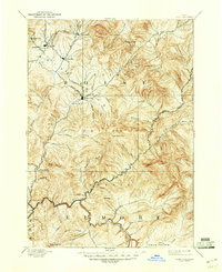
1894 Map of Idaho Basin
USGS Topo · Published 1894About this map
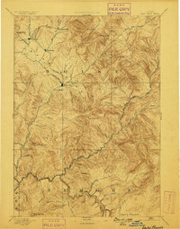
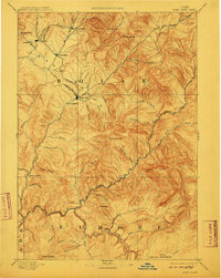
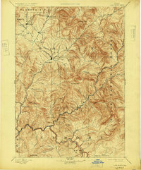
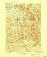
Idaho City serves as the focal point of this 1892 survey, surrounded by the high-elevation mining settlements that defined the Idaho Basin during the late nineteenth century. The map captures the specialized geography of the region’s early industry, from the Granite Quartz workings near Quartzburg to the clustered camps of Placerville, Centerville, and Pioneerville. This was a landscape built on the movement of people and ore, illustrated by the presence of the Halfway House along the western trails and the numerous gulches like Slaughter House Gulch and Boyles Gulch that fed into Grimes Creek.
Find a feature on this map
57 named features on this map. Tap any name to fly to it.
Don’t see what you’re looking for? This feature index may not catch every label — zoom into the map to look around manually.
Map Details
Editions of this 1894 Idaho Basin Map
7 editions found

Other maps of this area

1891 · Bear Valley
USGS Topo · 1:125,000

1892 · Mountain Home
USGS Topo · 1:125,000

1892 · Boise
USGS Topo · 1:125,000

1892 · Bisuka
USGS Topo · 1:125,000

1892 · Camas Prairie
USGS Topo · 1:125,000

1893 · Mountain Home
USGS Topo · 1:125,000

1893 · Bear Valley
USGS Topo · 1:125,000

1893 · Camas Prairie
USGS Topo · 1:125,000

1894 · Bisuka
USGS Topo · 1:125,000

1894 · Squaw Creek
USGS Topo · 1:125,000