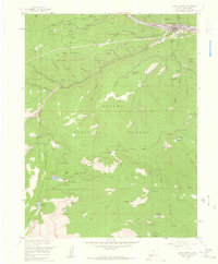
1957 Map of Idaho Springs
USGS Topo · Published 1959About this map
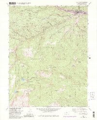
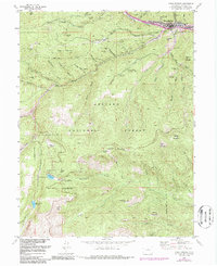
Clear Creek flows through the northern reaches of this landscape, anchoring the settlement of Idaho Springs as it appeared in the late 1950s. The map illustrates a region deeply defined by its mining heritage, with dozens of named excavations and infrastructure such as the Colorado School of Mines Experimental Mine, the Lamartine Mine, and the Black Eagle Mill dotting the gulches. Scientific and recreational interests are well-represented by the Inter-University High Altitude Lab near Echo Lake Park and several seasonal retreats like Camp Wilaha and Camp Shwayder.
Find a feature on this map
68 named features on this map. Tap any name to fly to it.
Don’t see what you’re looking for? This feature index may not catch every label — zoom into the map to look around manually.
Map Details
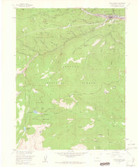
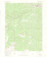
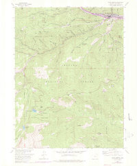
Editions of this 1957 Idaho Springs Map
6 editions found
Other maps of this area

1899 · West Denver
USGS Topo · 1:125,000

1903 · Georgetown
USGS Topo · 1:62,500

1905 · Central City
USGS Topo · 1:62,500

1905 · Georgetown
USGS Topo · 1:62,500

1906 · Blackhawk
USGS Topo · 1:62,500

1910 · Central City
USGS Topo · 1:62,500

1912 · Central City
USGS Topo · 1:62,500

1942 · Central City
USGS Topo · 1:24,000

1942 · Black Hawk
USGS Topo · 1:24,000

1944 · Black Hawk
USGS Topo · 1:31,680