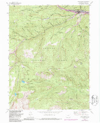
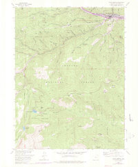
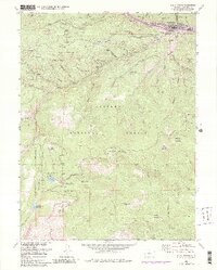
1957 Map of Idaho Springs
USGS Topo · Published 1987About this map
The gold and silver legacy of the Front Range is etched into the landscape of Idaho Springs, where the 1950s terrain is crowded with historic tunnels and shafts. Within the Arapaho National Forest, the map records the infrastructure of an aging mining district, including the Colo School of Mines Experimental Mine and the Black Eagle Mill. Evidence of earlier booms appears in the label for Freeland (Aband) and the high-altitude Lamartine (Aband) site.
Find a feature on this map
87 named features on this map. Tap any name to fly to it.
Don’t see what you’re looking for? This feature index may not catch every label — zoom into the map to look around manually.
Map Details
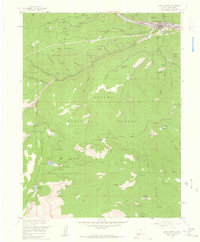
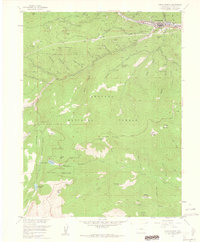
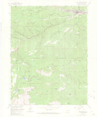
Editions of this 1957 Idaho Springs Map
6 editions found
Other maps of this area

1899 · West Denver
USGS Topo · 1:125,000

1903 · Georgetown
USGS Topo · 1:62,500

1905 · Central City
USGS Topo · 1:62,500

1905 · Georgetown
USGS Topo · 1:62,500

1906 · Blackhawk
USGS Topo · 1:62,500

1910 · Central City
USGS Topo · 1:62,500

1912 · Central City
USGS Topo · 1:62,500

1942 · Central City
USGS Topo · 1:24,000

1942 · Black Hawk
USGS Topo · 1:24,000

1944 · Black Hawk
USGS Topo · 1:31,680