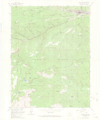
1957 Map of Idaho Springs
USGS Topo · Published 1969About this map
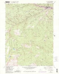
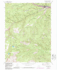
Idaho Springs and its surrounding mineral belts are documented here during the late 1950s, a period when the area's deep mining history intersected with emerging scientific research. The town serves as a hub for the gold and silver heritage of Clear Creek, featuring the massive Argo Mill and numerous active and historic operations like the Stanley Mine and Hukill Mine. Beyond the industrial centers, the map captures unique educational and scientific outposts, including the Colo School of Mines Experimental Mine and the Inter-University High Altitude Lab near the heights of Goliath Peak.
Find a feature on this map
76 named features on this map. Tap any name to fly to it.
Don’t see what you’re looking for? This feature index may not catch every label — zoom into the map to look around manually.
Map Details
Editions of this 1957 Idaho Springs Map
6 editions found
Other maps of this area

1899 · West Denver
USGS Topo · 1:125,000

1903 · Georgetown
USGS Topo · 1:62,500

1905 · Central City
USGS Topo · 1:62,500

1905 · Georgetown
USGS Topo · 1:62,500

1906 · Blackhawk
USGS Topo · 1:62,500

1910 · Central City
USGS Topo · 1:62,500

1912 · Central City
USGS Topo · 1:62,500

1942 · Central City
USGS Topo · 1:24,000

1942 · Black Hawk
USGS Topo · 1:24,000

1944 · Black Hawk
USGS Topo · 1:31,680