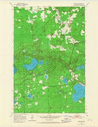
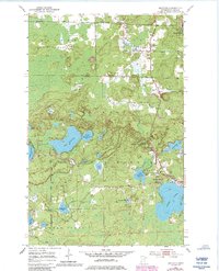
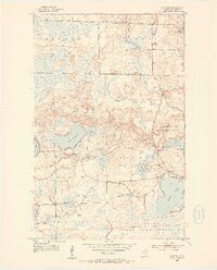
1952 Map of Idington
USGS Topo · Published 1968About this map
Idington sits at the nexus of the Rice River and the Duluth Winnipeg and Pacific RR in this mid-century portrait of St. Louis County. The settlement patterns of Alango and Angora are clearly defined, showing a landscape transitioning from the rail-oriented commerce of Idington Station to a managed wilderness. Large portions of the terrain are dedicated to conservation, including the Arrowhead Lake State Game Refuge and the Great Scott State Game Refuge, which sit within the broader bounds of the Superior National Forest.
Find a feature on this map
25 named features on this map. Tap any name to fly to it.
Don’t see what you’re looking for? This feature index may not catch every label — zoom into the map to look around manually.
Map Details
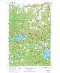
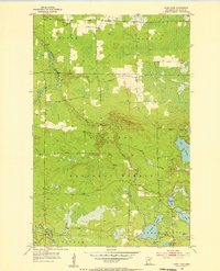
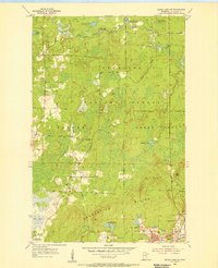
Editions of this 1952 Idington Map
6 editions found
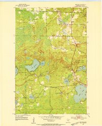
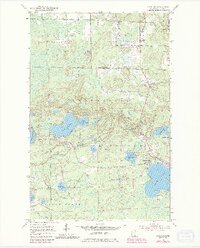
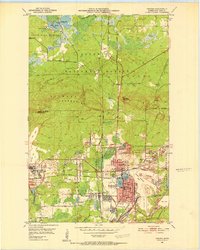
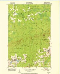
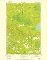
Other maps of this area
1951 · Virginia
USGS Topo · 1:24,000
1951 · Kinney
USGS Topo · 1:24,000
1951 · Britt
USGS Topo · 1:24,000
1952 · Idington
USGS Topo · 1:24,000

1954 · Hibbing
USGS Topo · 1:250,000
1955 · Dark Lake
USGS Topo · 1:24,000
1955 · Dewey Lake SE
USGS Topo · 1:24,000

1957 · Hibbing
USGS Topo · 1:250,000

1958 · Hibbing
USGS Topo · 1:250,000

1964 · Hibbing
USGS Topo · 1:250,000