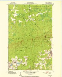
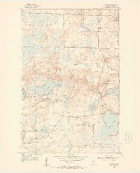
1952 Map of Idington
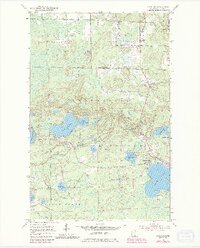
USGS Topo · Published 1985About this map
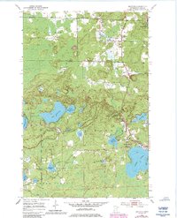
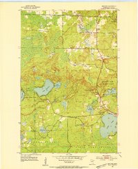
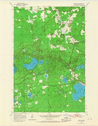
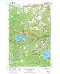
The Duluth Winnipeg and Pacific railroad cuts through this section of St. Louis County, anchoring small settlements like Idington and Idington Station within the vast woodland. This 1952 landscape is dominated by the Superior National Forest and a complex network of glacial lakes and river systems. Water bodies like Sand Lake, Lake Fourteen, and Moose Lake are connected by the winding paths of the Sturgeon River and Rice River. A notable point of human activity is centered around the Sand Lake Chapel and the nearby Idington Cem, providing valuable location data for genealogists. The terrain is marked by the prominent Black Knob, which serves as the site for the Black Knob Lookout Tower, a critical post for forest management during the mid-twentieth century. For those researching rural infrastructure, the map also identifies a Town Hall, a Heliport, and several specialized features like a Gravel Pit and a lakeside Picnic Area.
Find a feature on this map
34 named features on this map. Tap any name to fly to it.
Don’t see what you’re looking for? This feature index may not catch every label — zoom into the map to look around manually.
Map Details
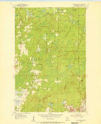
Editions of this 1952 Idington Map
6 editions found
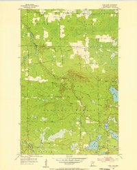
Other maps of this area
1951 · Virginia
USGS Topo · 1:24,000
1951 · Kinney
USGS Topo · 1:24,000
1951 · Britt
USGS Topo · 1:24,000
1952 · Idington
USGS Topo · 1:24,000

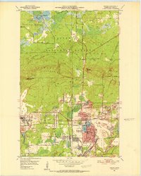
1954 · Hibbing
USGS Topo · 1:250,000
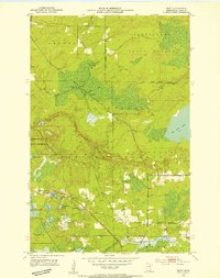
1955 · Dark Lake
USGS Topo · 1:24,000
1955 · Dewey Lake SE
USGS Topo · 1:24,000

1957 · Hibbing
USGS Topo · 1:250,000

1958 · Hibbing
USGS Topo · 1:250,000

1964 · Hibbing
USGS Topo · 1:250,000