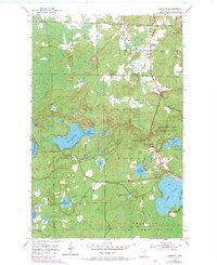
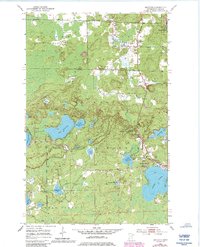
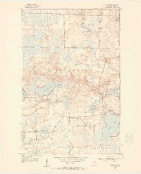
1952 Map of Idington
USGS Topo · Published 1971About this map
Idington and Idington Station anchor the northern reaches of this Iron Range landscape, where the Rice River winds through the wetlands of the Superior National Forest. The map captures a mid-century transition in St. Louis County, where forest management and conservation efforts are evident in the Arrowhead Lake State Game Refuge and the Birch Knob Lookout Tower.
Find a feature on this map
29 named features on this map. Tap any name to fly to it.
Don’t see what you’re looking for? This feature index may not catch every label — zoom into the map to look around manually.
Map Details
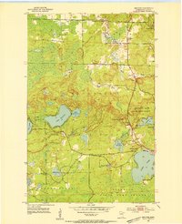
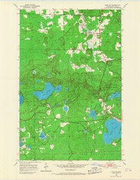
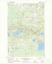
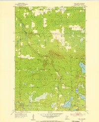
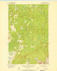
Editions of this 1952 Idington Map
6 editions found
Other maps of this area
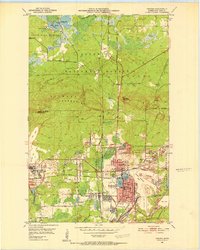
1951 · Virginia
USGS Topo · 1:24,000
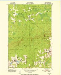
1951 · Kinney
USGS Topo · 1:24,000
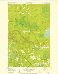
1951 · Britt
USGS Topo · 1:24,000
1952 · Idington
USGS Topo · 1:24,000

1954 · Hibbing
USGS Topo · 1:250,000
1955 · Dark Lake
USGS Topo · 1:24,000
1955 · Dewey Lake SE
USGS Topo · 1:24,000

1957 · Hibbing
USGS Topo · 1:250,000

1958 · Hibbing
USGS Topo · 1:250,000

1964 · Hibbing
USGS Topo · 1:250,000