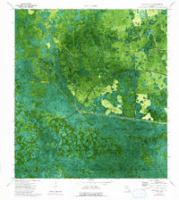
1974 Map of Immokalee 1 SE
USGS Topo · Published 1992About this map
The Seminole Indian Reservation occupies a significant portion of this landscape, where the seasonal hydrology of the Big Cypress region is clearly visible through an intricate network of strands and sloughs. Water moves through the terrain via natural features like Kissimmee Bill Strand and Hard Camp Slough, while the West Feeder Canal and Little Lord Can indicate early efforts to manage the flow across the Hendry and Collier county line. This orthophotomap, based on 1971 aerial photography, provides an unfiltered view of the vegetation patterns and subtle elevation changes that define these wetlands. Notable landmarks such as Cow Bone Island and Canoe Lake Strand emerge from the dense landscape, alongside a lone Radio Tower that serves as a modern point of reference in an otherwise remote environment.
Find a feature on this map
13 named features on this map. Tap any name to fly to it.
Don’t see what you’re looking for? This feature index may not catch every label — zoom into the map to look around manually.
Map Details
Editions of this 1974 Immokalee 1 SE Map
3 editions found
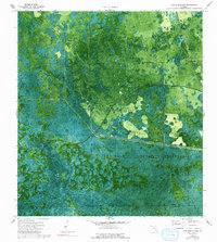
Other maps of this area

1956 · West Palm Beach
USGS Topo · 1:250,000

1957 · West Palm Beach
USGS Topo · 1:250,000

1958 · West Palm Beach
USGS Topo · 1:250,000

1974 · Everglades 2 SW
USGS Topo · 1:24,000

1974 · Immokalee 4 NW
USGS Topo · 1:24,000

1974 · Immokalee 1 SW
USGS Topo · 1:24,000

1974 · Immokalee 1 SE
USGS Topo · 1:24,000

1974 · Immokalee 1 NE
USGS Topo · 1:24,000
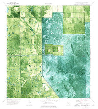
1974 · Everglades 2 NW
USGS Topo · 1:24,000
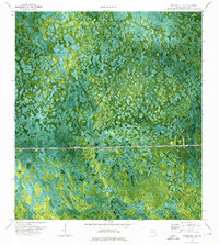
1974 · Immokalee 4 NE
USGS Topo · 1:24,000