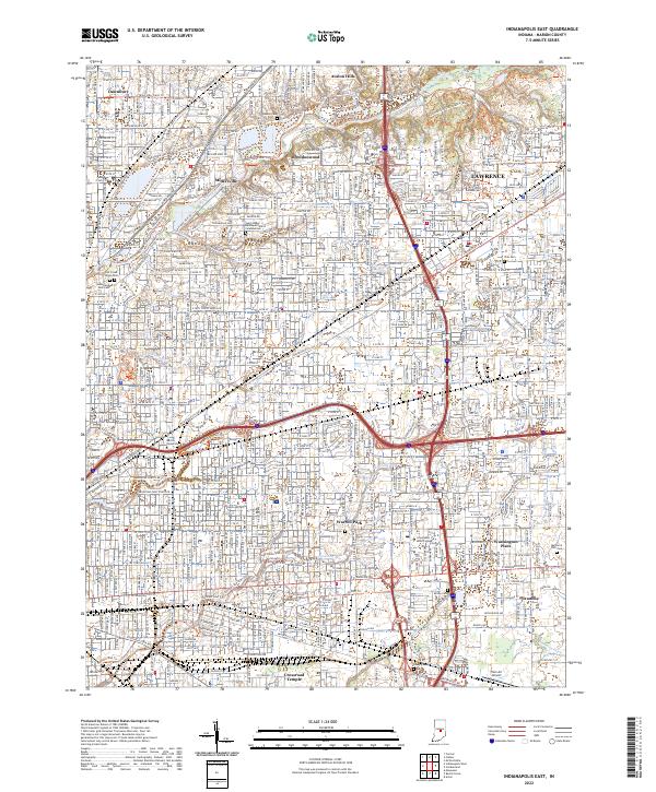
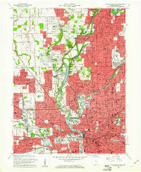
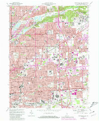
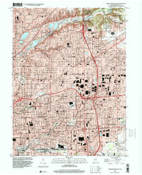
2022 Map of Indianapolis East
USGS Topo · Published 2022About this map
Millersville and the winding course of Fall Creek anchor this modern landscape of eastern Marion County. The suburban character of neighborhoods like Brendonwood, Dawnbury, and Avalon Hills is woven together by an extensive network of recreation paths, including the Fall Creek Trl and Indy Parks Trl. The map documents the persistent identity of established communities such as Lawrence and Warren Park, alongside newer developments and industrial corridors.
Find a feature on this map
48 named features on this map. Tap any name to fly to it.
Don’t see what you’re looking for? This feature index may not catch every label — zoom into the map to look around manually.
Map Details
Editions of this 2022 Indianapolis East Map
This is the sole edition of this map. No revisions or reprints were ever made.
Historical Maps of Indianapolis Through Time
20 maps found
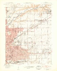
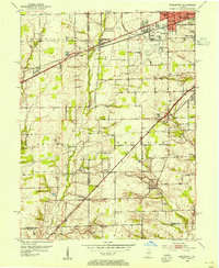
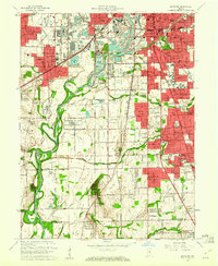
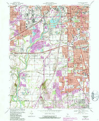
1948 Indianapolis East
Marion County, IN
1948 Indianapolis West
Marion County, IN
1948 Maywood
Marion County, IN
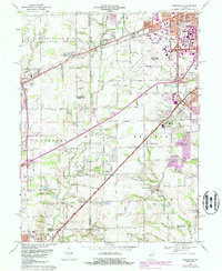
1953 Bridgeport
Marion County, IN
1959 Bridgeport
Marion County, IN
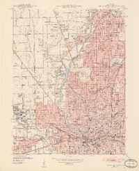
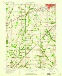
1959 Indianapolis East
Marion County, IN
1959 Indianapolis West
Marion County, IN
1959 Maywood
Marion County, IN
1966 Bridgeport
Marion County, IN
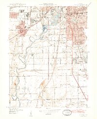
1967 Indianapolis East
Marion County, IN
1967 Indianapolis West
Marion County, IN
1967 Maywood
Marion County, IN
1998 Bridgeport
Marion County, IN
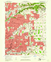
1998 Indianapolis East
Marion County, IN
1998 Indianapolis West
Marion County, IN
1998 Maywood
Marion County, IN
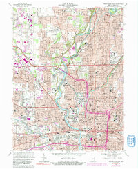
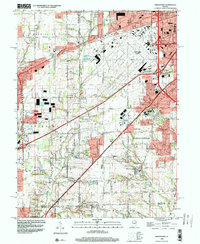
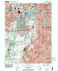
2022 Bridgeport
Marion County, IN
2022 Indianapolis East
Marion County, IN
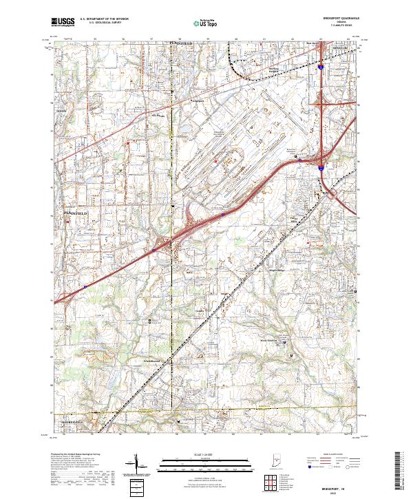
2022 Indianapolis West
Marion County, IN
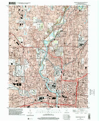
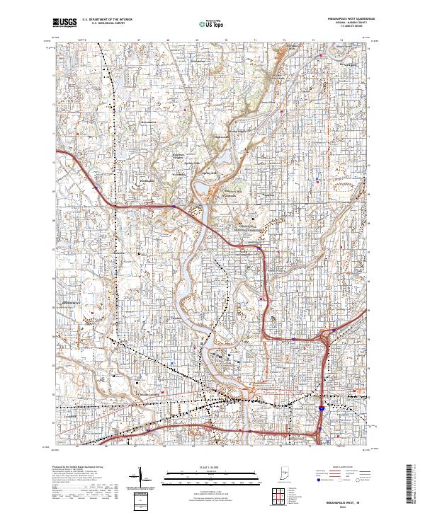
2022 Maywood
Marion County, IN
Featured Locations
- Indianapolis, IN
- Crossroad Temple, Indianapolis
- Brendonwood, Indianapolis
- Lawrence, Indianapolis
- Warren Park, Indianapolis