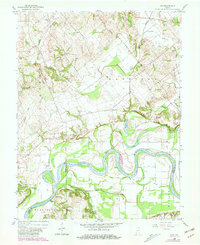
1958 Map of Iona
USGS Topo · Published 1981About this map
The White River meanders sharply through this landscape on the border of Knox, Gibson, and Pike counties, creating a complex network of wetlands and oxbows. Small settlements like Iona and Ridgeville serve as central points for the surrounding agricultural townships of Harrison, Johnson, and Madison. The terrain is marked by significant hydrological features including Half Moon Pond, Long Pond, and Ten Acre Pond, which illustrate the river's historical shifts and its influence on the local geography.
Find a feature on this map
37 named features on this map. Tap any name to fly to it.
Don’t see what you’re looking for? This feature index may not catch every label — zoom into the map to look around manually.
Map Details
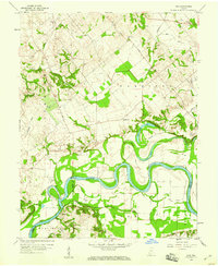
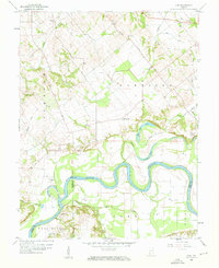
Editions of this 1958 Iona Map
3 editions found
Other maps of this area

1901 · Princeton
USGS Topo · 1:62,500

1902 · Ditney
USGS Topo · 1:125,000

1903 · Petersburg
USGS Topo · 1:62,500

1903 · Princeton
USGS Topo · 1:62,500

1903 · Patoka
USGS Topo · 1:125,000

1915 · Vincennes
USGS Topo · 1:62,500

1942 · Fritchton
USGS Topo · 1:24,000

1944 · Fritchton
USGS Topo · 1:24,000

1944 · Monroe City
USGS Topo · 1:24,000

1944 · Wheatland
USGS Topo · 1:24,000