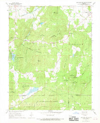
1968 Map of Iron Mountain Lake
USGS Topo · Published 1970About this map
The St Francois Co Iron Co border area during the late 1960s is defined by its topographic complexity and mining history. Centered around Iron Mountain Lake, the landscape is dominated by named summits including Stono Mountain, Wolf Mountain, and Little Stono Mountain, where a Lookout Tower marks the high ground. Settlement patterns follow the valleys and rail lines, with the Pacific and Missouri railroads serving communities like Doe Run and Iron Mountain.
Find a feature on this map
50 named features on this map. Tap any name to fly to it.
Don’t see what you’re looking for? This feature index may not catch every label — zoom into the map to look around manually.
Map Details
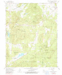
Editions of this 1968 Iron Mountain Lake Map
2 editions found
Other maps of this area

1904 · Farmington
USGS Topo · 1:62,500

1905 · Bonneterre
USGS Topo · 1:62,500

1906 · Farmington
USGS Topo · 1:62,500

1937 · Ironton
USGS Topo · 1:48,000

1939 · Fredericktown
USGS Topo · 1:48,000

1945 · Ironton
USGS Topo · 1:62,500

1946 · Ironton
USGS Topo · 1:62,500

1947 · Fredericktown
USGS Topo · 1:62,500

1949 · Rolla
USGS Topo · 1:250,000

1950 · Fredericktown
USGS Topo · 1:62,500